







Alle Auktionen / Bücher, Karten, Handschriften / Antique Road Map, London to Hythe, Kent, English, Cartography, John
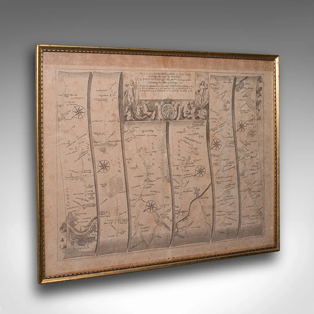
This is an antique Road Map from London to Hythe, Kent. An English, cartographic atlas excerpt by John Ogilby, dating to the late 17th century with later frame, circa 1675 A superb example of early English road cartography, this antique atlas excerpt by John Ogilby depicts the historic route from London to Hythe, Kent. Beautifully preserved and presented within a later glazed frame, this piece embodies the craftsmanship and innovation of Britain’s first road atlas annotated in miles. This is a quality antique road map of London to Hythe, offering remarkable cartographic charm and ready for elegant display in any collection or period setting. Delivered ready to display. Max Width: 48.5cm (19'')Max Depth: 2.5cm (1'')Max Height: 40cm (15.75'') Map Width: 46.5cm (18.25'')Map Height: 37.5cm (14.75'')
Schätzpreis:€621.44
Zur AuktionAlle Objekte ansehen vonLondon Fine AntiquesoderBücher, Karten, Handschriften
Schätzpreis:
€621.44
1 bt. Champagne Dom Pérignon, Moët et Chandon 2013 A (hf/in). Oc.
10/15/2026

€160.51
Schätzw.: €187.18
1 bt. Champagne "Cristal", Louis Roederer 2016 A (hf/in). Oc. – Bruun
10/15/2026
€187.26
Schätzw.: €187.18
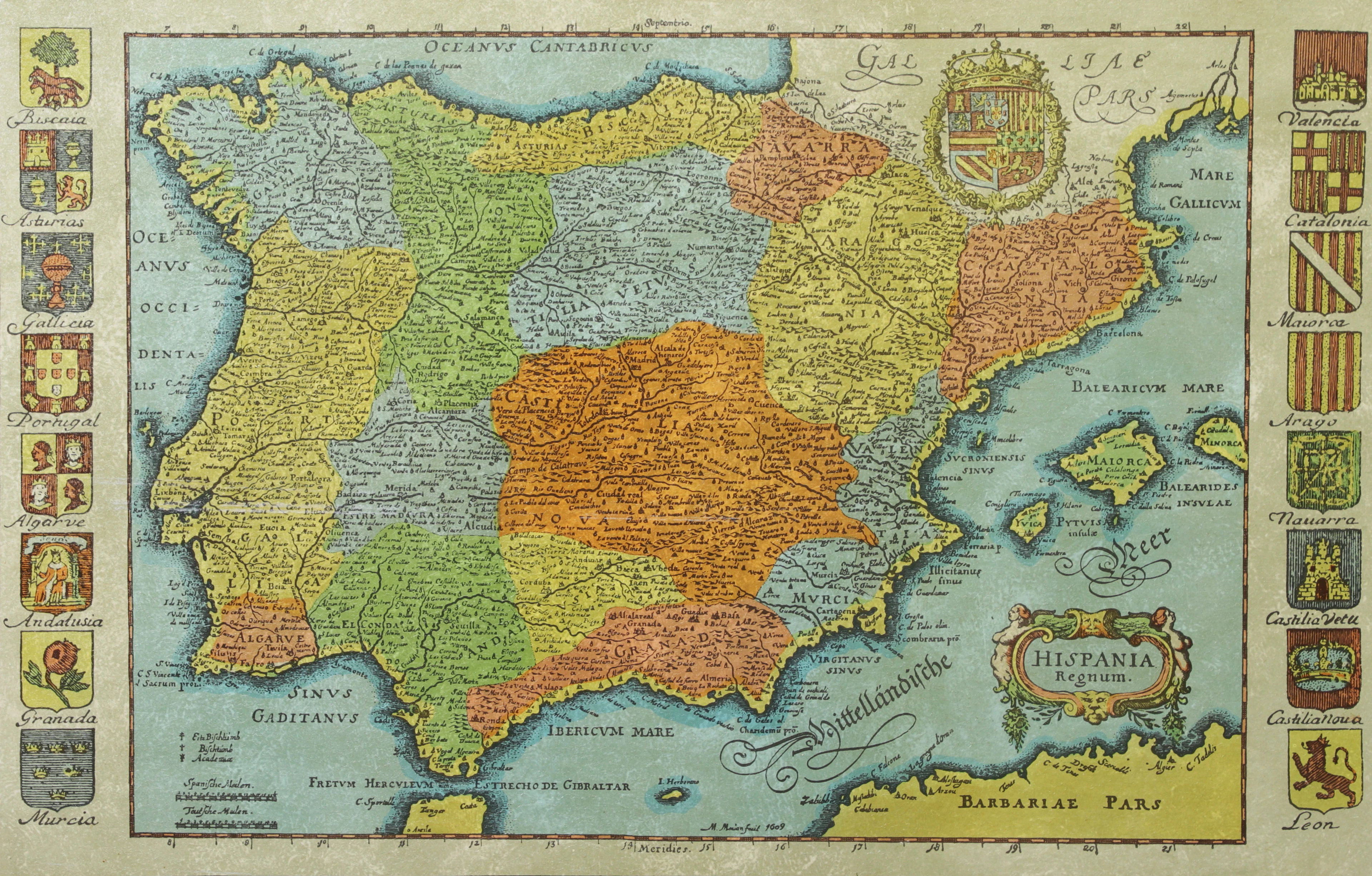
KARTA, Spanien, inramad, 1900-talets andra hälft.
10/14/2026
€26.88
Schätzw.: €44.79

BÖCKER om STOCKHOLM, 31 st, 1900-talets senare del.
10/14/2026
€47.04
Schätzw.: €53.74




Bringen Sie Ihre Auktion zu Sammlern weltweit!
Jetzt eintragen lassenMit der Anmeldung stimmen Sie der Datenschutzrichtlinie zu. Jederzeit abmelden.
Barnebys HQ
Brahegatan 10
BOX 5038
114 37 Stockholm
