







Alle Auktionen / Bücher, Karten, Handschriften / Atlantic Ocean - French Sea Chart; Bellin - Carte Reduite...

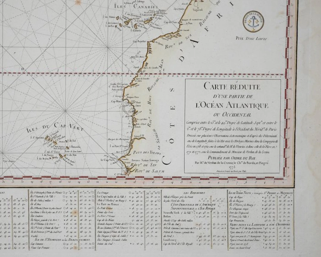
Impressive nautical chart titled "Carte Reduite d'une Partie de l'Ocean Atlantique ou Occidental," created by Jacques Nicolas Bellin and the Depot de la Marine in 1775. Measuring 84 cm in width and 56 cm in height, this map was part of a larger maritime atlas, a significant work by Bellin, who was a prominent French hydrographer in the 18th century. The chart is designed to assist in navigation, focusing on the Atlantic Ocean and surrounding coastlines With original hand colouring. image size: 56 x 84 cm Condition very good, few stains, some water stains on the white margi
Schätzpreis:€400
Zur AuktionAlle Objekte ansehen vonCatawikioderBücher, Karten, Handschriften
Schätzpreis:
€400
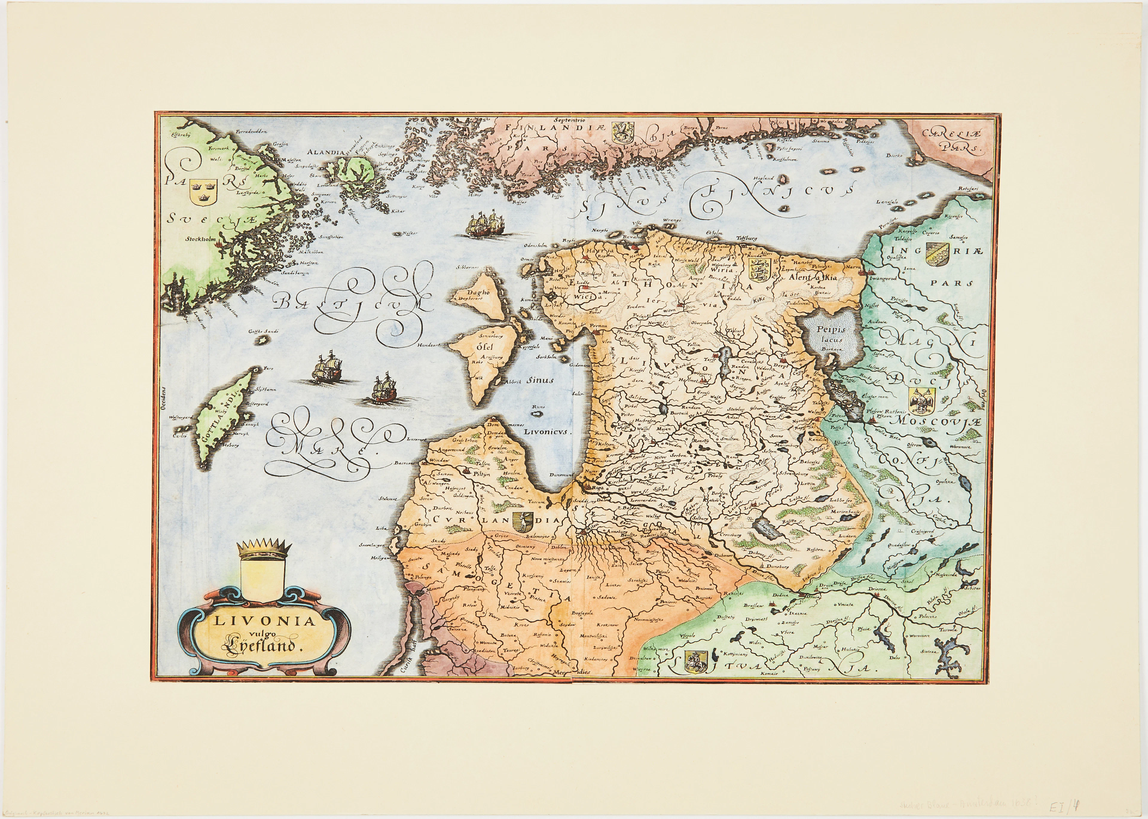
MERIANS KARTA ÖVER BALTIKUM, ca 1640.
10/07/2026
€89.98
Schätzw.: €133.3
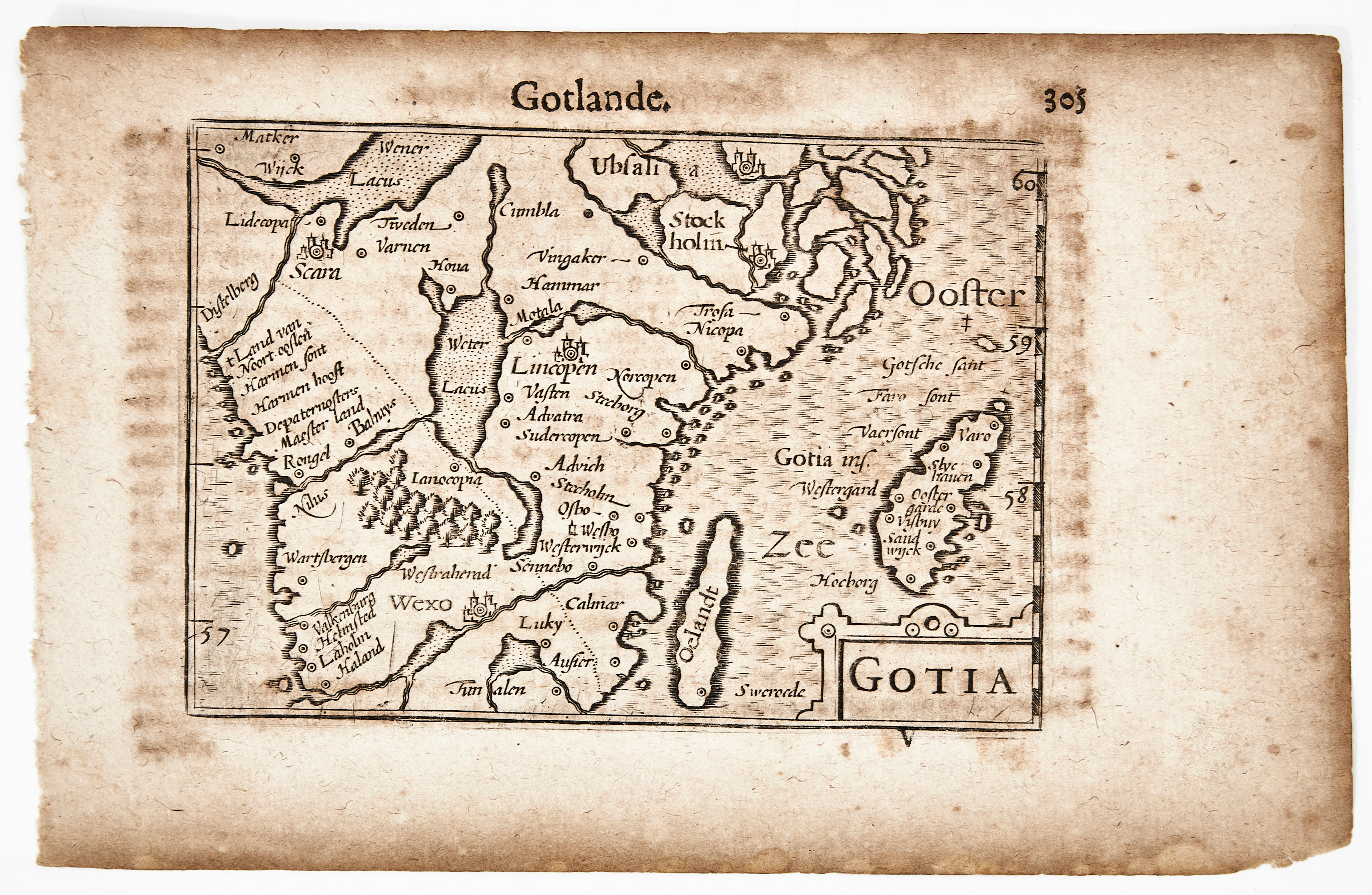
BERTIUS KARTA ÖVER GÖTALAND, Gotia, ca 1670.
10/07/2026
€90.34
Schätzw.: €106.64
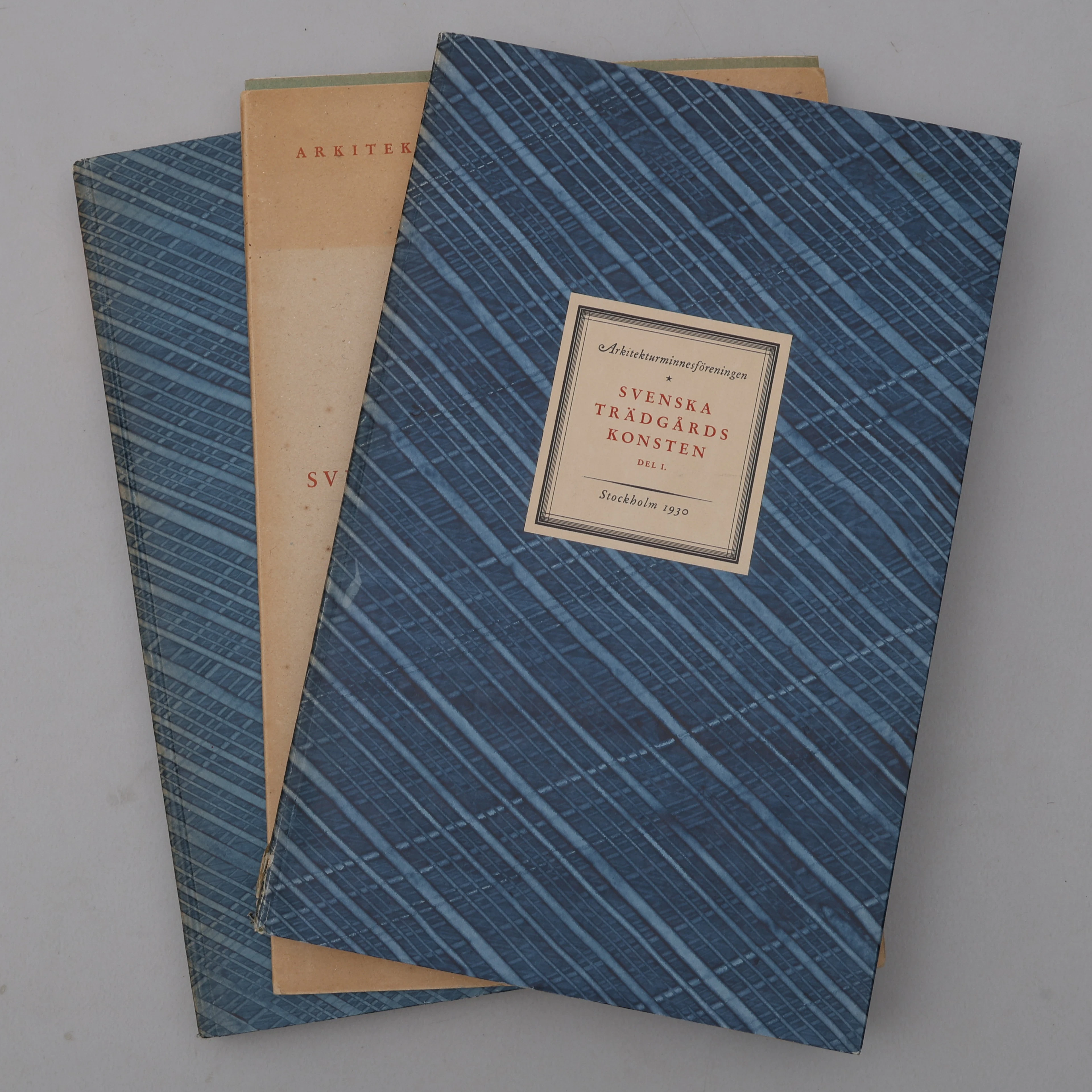
BIBLIOFILI/TRÄDGÅRD. SVENSKA TRÄDGÅRDSKONSTEN SÅDAN DEN TILL VÅRA
10/07/2026
€98.39
Schätzw.: €266.61

SLOTT OCH HERRESÄTEN I SVERIGE, 18 VOLYMER, Malmö, 1966-71.
10/07/2026
€71.55
Schätzw.: €133.3




Bringen Sie Ihre Auktion zu Sammlern weltweit!
Jetzt eintragen lassenMit der Anmeldung stimmen Sie der Datenschutzrichtlinie zu. Jederzeit abmelden.
Barnebys HQ
Brahegatan 10
BOX 5038
114 37 Stockholm
