







Alle Auktionen / Bücher, Karten, Handschriften / Belgium - Flanders

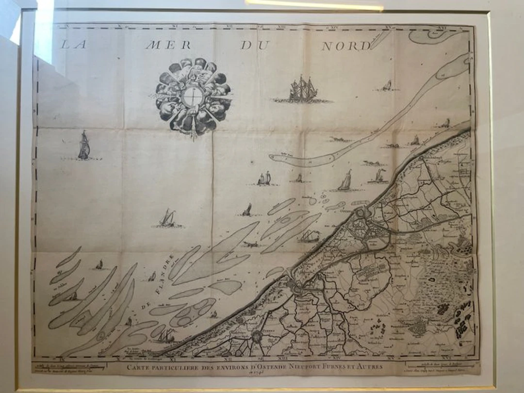
Antique French engraved map titled Carte particulière des environs d’Ostende, Nieuport, Furnes et autres, dated 1743, depicting the coastal region of Flanders from Dunkirk and Nieuport to Ostend and inland towards Bruges and Torhout. The map is richly detailed with coastal waterways, sandbanks, maritime soundings, towns, roads, fortifications and decorative sailing vessels. An attractive 18th-century cartographic document, presented in an elegant later frame. The map retains its original folds and shows expected signs of age, including light browning, foxing and minor wear, consistent with its period. A particularly interesting piece for collectors of historic maps, Flemish history and maritime cartography. Note: it is possible to get the map without the frame.
Schätzpreis:€150
Zur AuktionAlle Objekte ansehen vonCatawikioderBücher, Karten, Handschriften
Schätzpreis:
€150
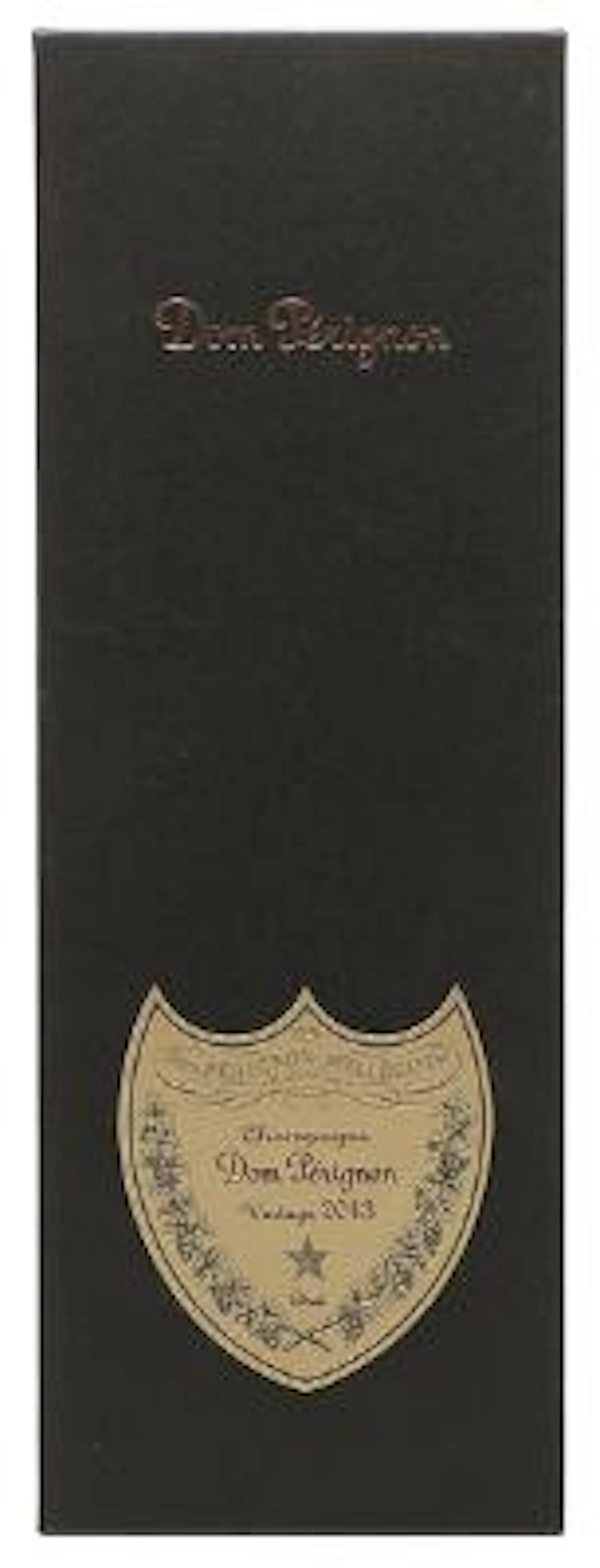
1 bt. Champagne Dom Pérignon, Moët et Chandon 2013 A (hf/in). Oc.
10/15/2026

€160.51
Schätzw.: €187.18

1 bt. Champagne "Cristal", Louis Roederer 2016 A (hf/in). Oc. – Bruun
10/15/2026
€187.26
Schätzw.: €187.18
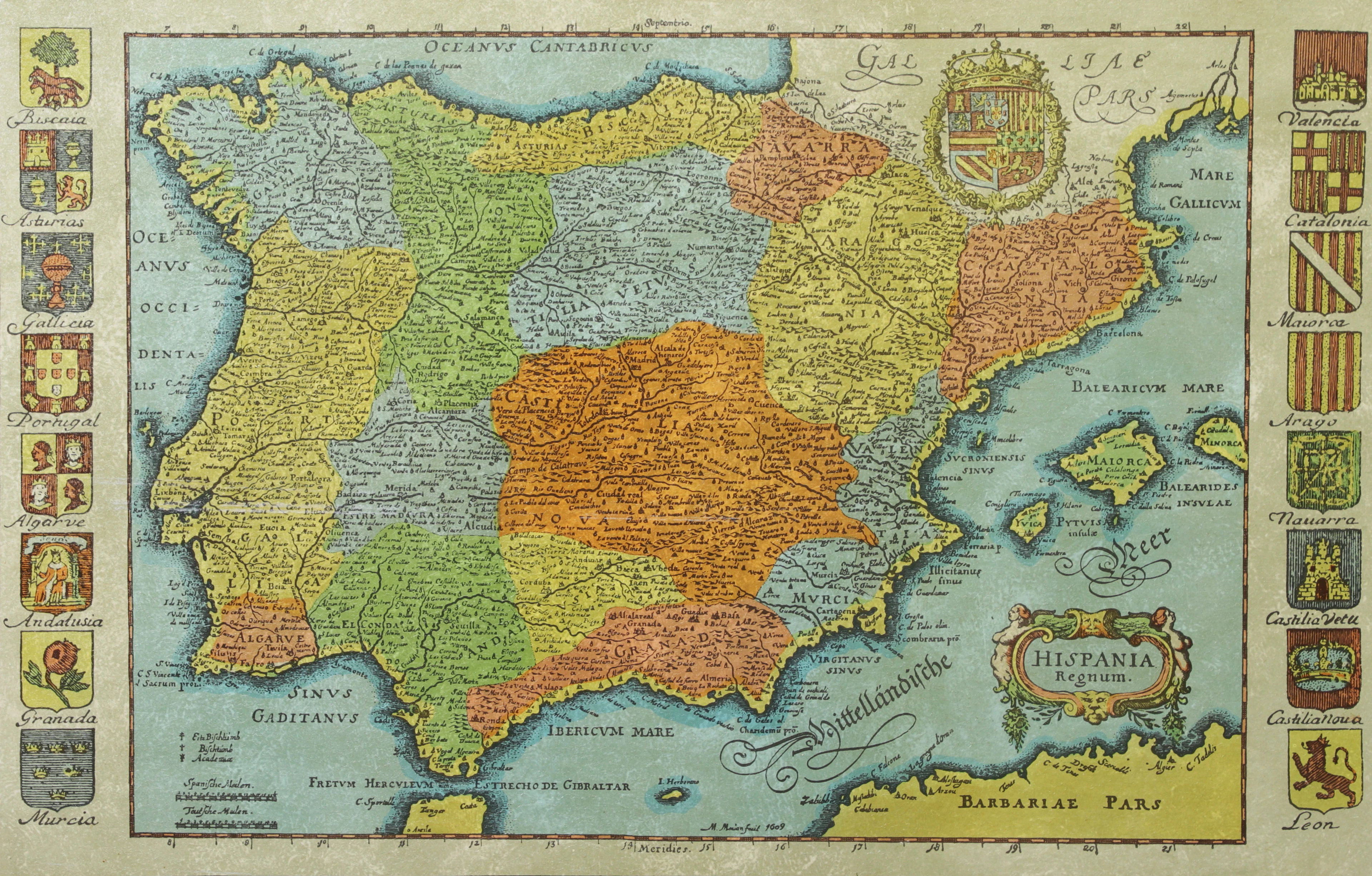
KARTA, Spanien, inramad, 1900-talets andra hälft.
10/14/2026
€26.88
Schätzw.: €44.79

BÖCKER om STOCKHOLM, 31 st, 1900-talets senare del.
10/14/2026
€47.04
Schätzw.: €53.74




Bringen Sie Ihre Auktion zu Sammlern weltweit!
Jetzt eintragen lassenMit der Anmeldung stimmen Sie der Datenschutzrichtlinie zu. Jederzeit abmelden.
Barnebys HQ
Brahegatan 10
BOX 5038
114 37 Stockholm
