






Bringen Sie Ihre Auktion zu Sammlern weltweit!
Jetzt eintragen lassenMit der Anmeldung stimmen Sie der Datenschutzrichtlinie zu. Jederzeit abmelden.
Barnebys HQ
Brahegatan 10
BOX 5038
114 37 Stockholm
Alle Auktionen / Bücher, Karten, Handschriften / Early Maps 18th century "partie des isles antilles" French map, partly
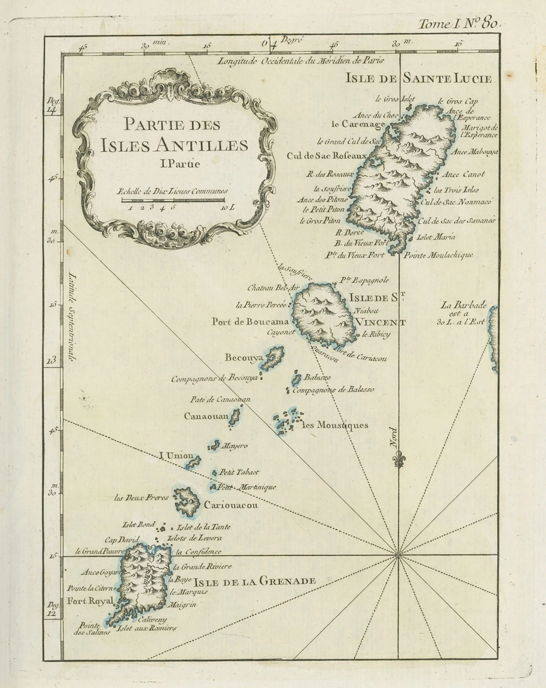
Early Maps 18th century "partie des isles antilles" French map, partly coloured, showing Grenada, St. Lucia and St. Vincent and Grenadines; 1805 (24 June) coloured map of the West Indies punlished by the Rev. E. Patterson of Richmond, Surrey; and 1806 (30 June) map of St. Lucia published by J. Gold of London; fine Subject to 20% VAT on Buyer’s Premium. For more information please view Terms and Conditions for Buyers.
Schätzpreis:€174.83
Zur AuktionAlle Objekte ansehen vonSpink AuctionsoderBücher, Karten, Handschriften
Schätzpreis:
€174.83
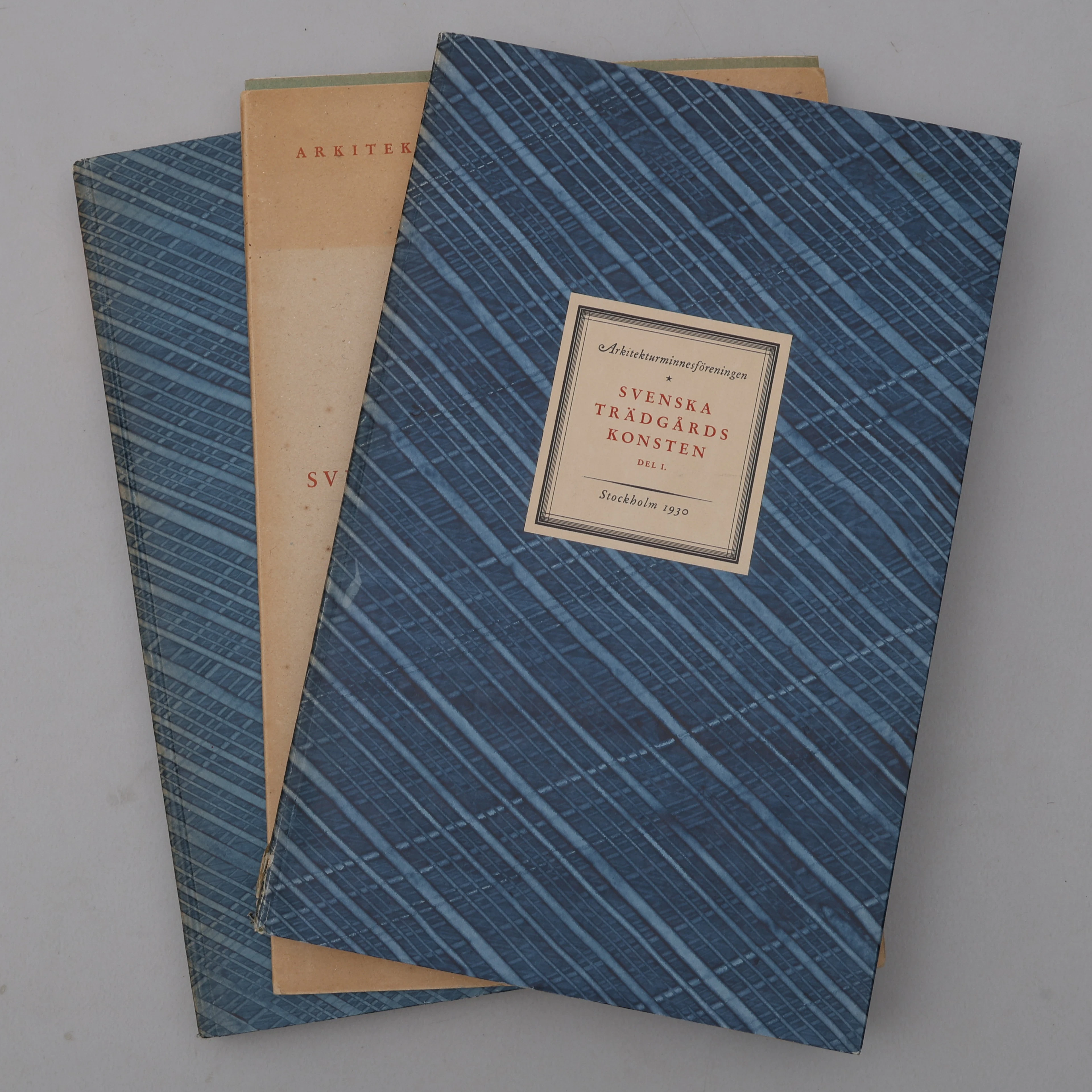
BIBLIOFILI/TRÄDGÅRD. SVENSKA TRÄDGÅRDSKONSTEN SÅDAN DEN TILL VÅRA
10/07/2026
€98.39
Schätzw.: €266.61



Bringen Sie Ihre Auktion zu Sammlern weltweit!
Jetzt eintragen lassen€300
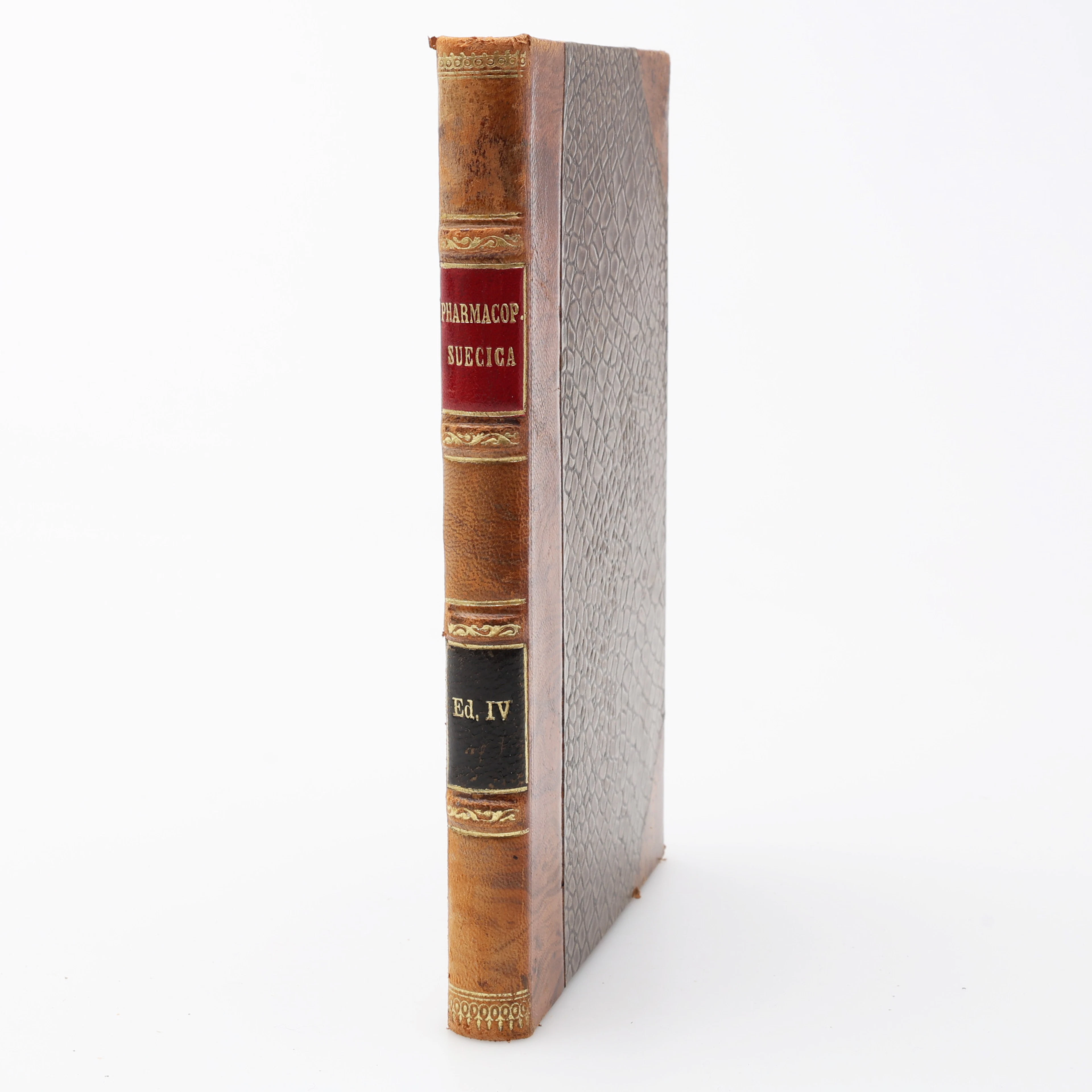
FARMAKOLOGI. PHARMAKOPOEA SVECICA EDITIO QUARTA EMENDATA/FJÄRDE RÄTTADE
10/07/2026
€68.96
Schätzw.: €44.1
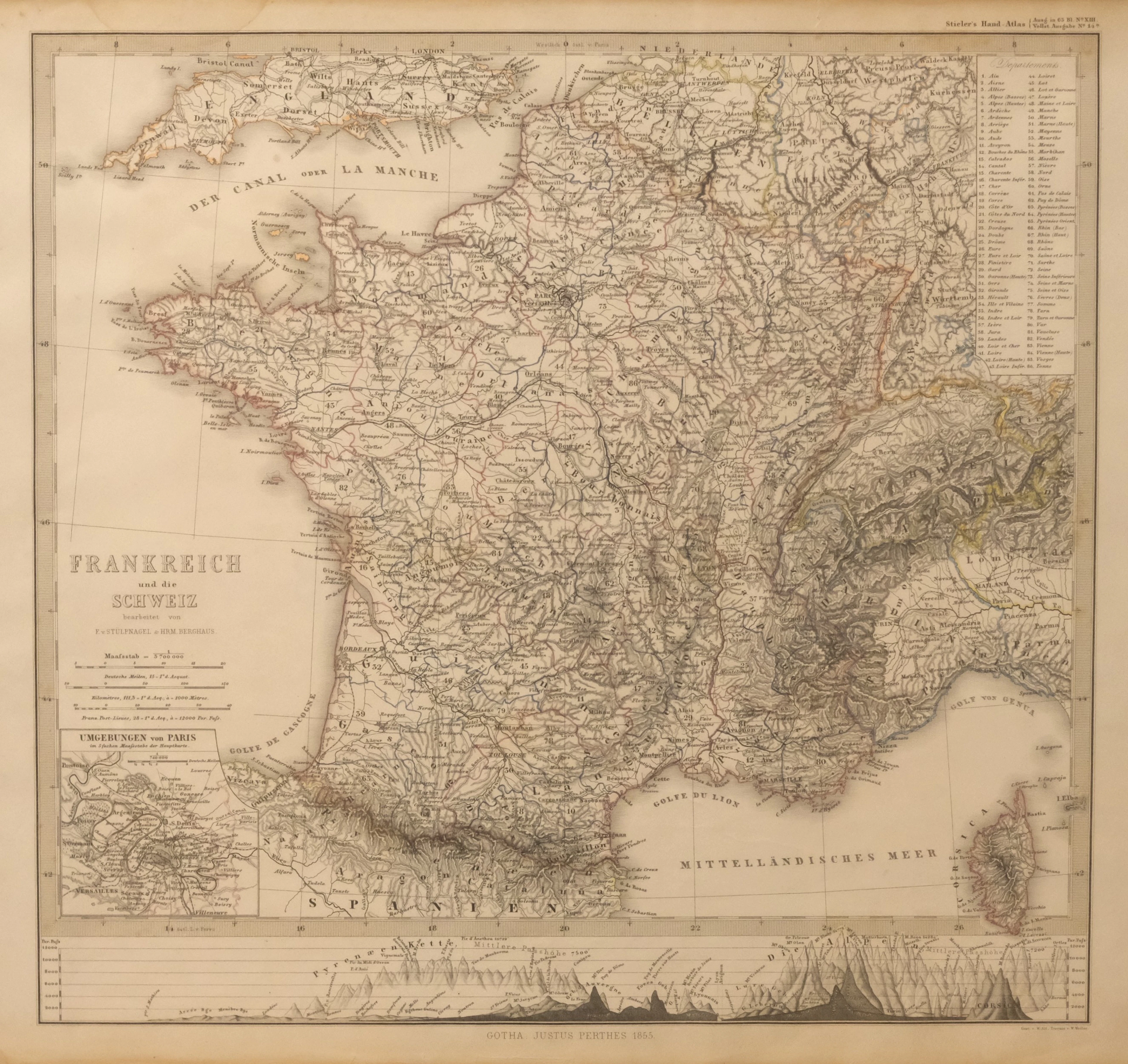
KARTA ÖVER FRANKRIKE OCH SCHWEIZ. UR STIELER'S HAND-ATLAS, 1855.
10/07/2026

€35.77
Schätzw.: €44.43
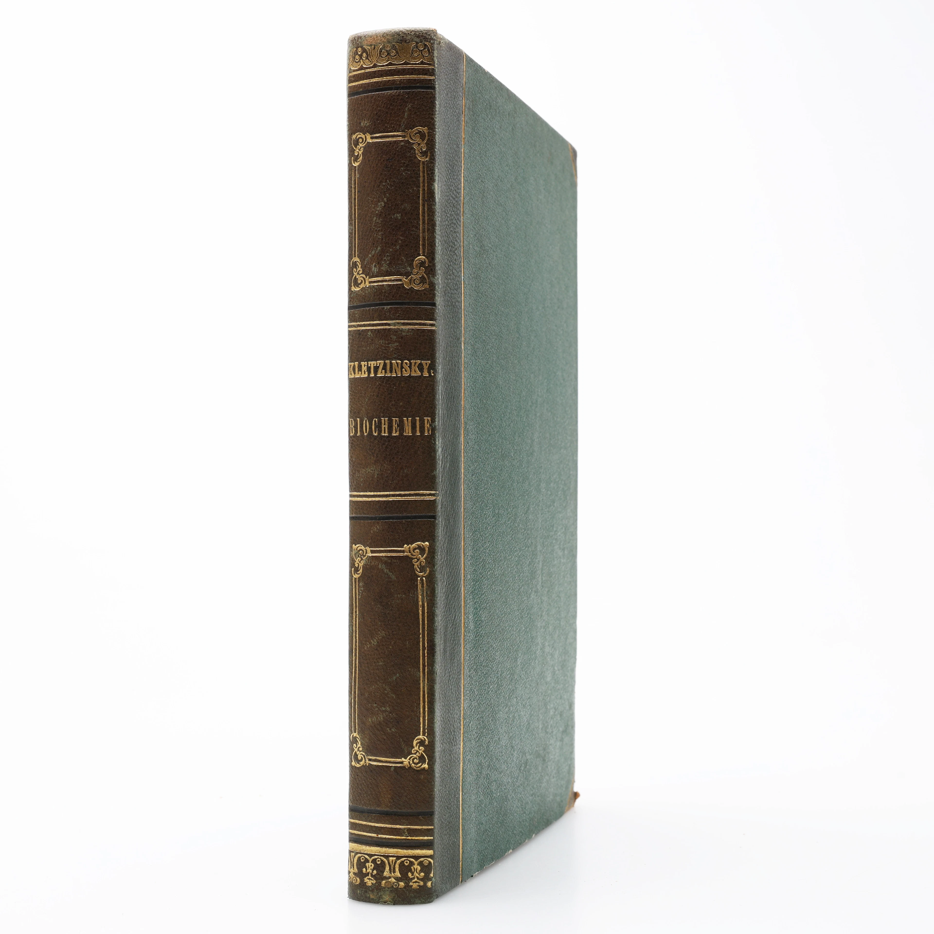
KBIOKEMI. VINCENZ KLETZINSKY'S COMPENDIUM DER BIOCHEMIE 1858 - DEN
10/07/2026
€125.22
Schätzw.: €176.4


