






Bringen Sie Ihre Auktion zu Sammlern weltweit!
Jetzt eintragen lassenMit der Anmeldung stimmen Sie der Datenschutzrichtlinie zu. Jederzeit abmelden.
Barnebys HQ
Brahegatan 10
BOX 5038
114 37 Stockholm
Alle Auktionen / Bücher, Karten, Handschriften / Europe - Eastern Europe / Poland / Lithuania / Russia / Livonia; K

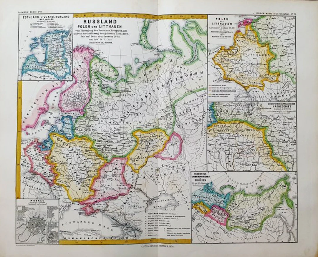
This Folio Geographical Map is an original copperplate engraving from 1870. This is the edition by KARL V. SPRUNER published in 1870 in his Atlas, bearing the title: "Historisch - Geographischer Hand-Atlas zur Geschichte der Staaten Europas Berlin, 1870". Map published in GERMANY, with excellent coloring, ample margins, and geographically well detailed in every point. Condition: the conditions are very good as shown in the photo. The overall measurements of the map are: 48 cm x 39 cm.
Schätzpreis:€2
Zur AuktionAlle Objekte ansehen vonCatawikioderBücher, Karten, Handschriften
Schätzpreis:
€2




Bringen Sie Ihre Auktion zu Sammlern weltweit!
Jetzt eintragen lassen
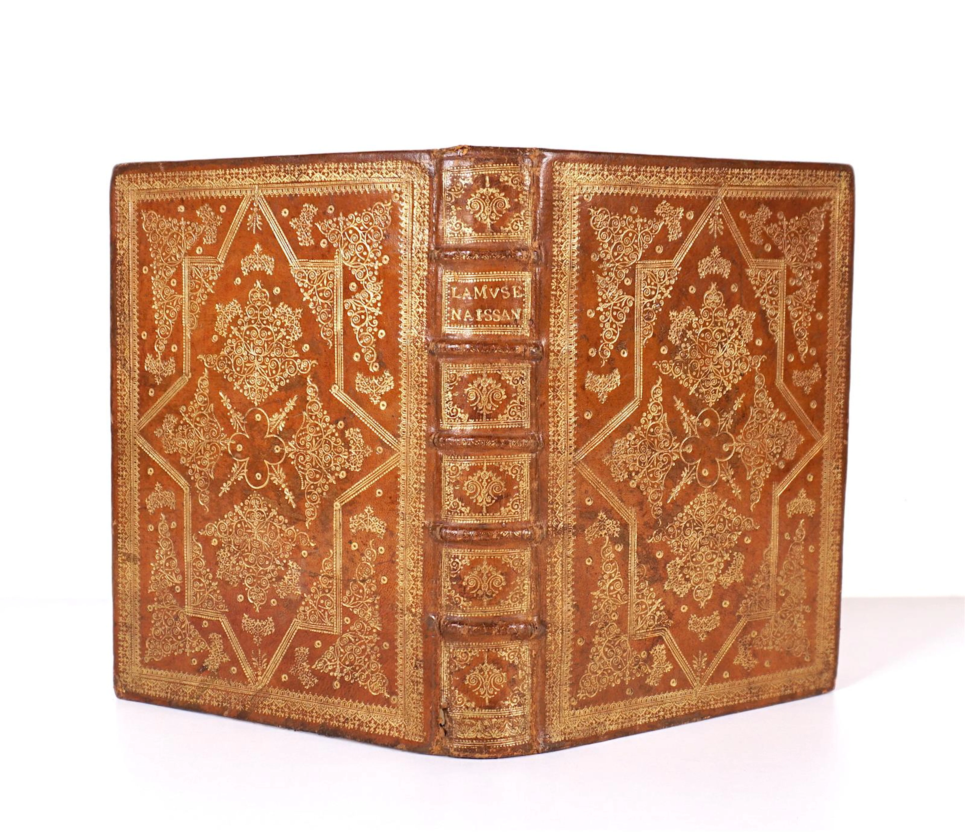

OLOF RUDBECK D.Y. Faksimilutgåvor, portfölj med planscher samt 2 st
09/29/2026
€141.12
Schätzw.: €264.85
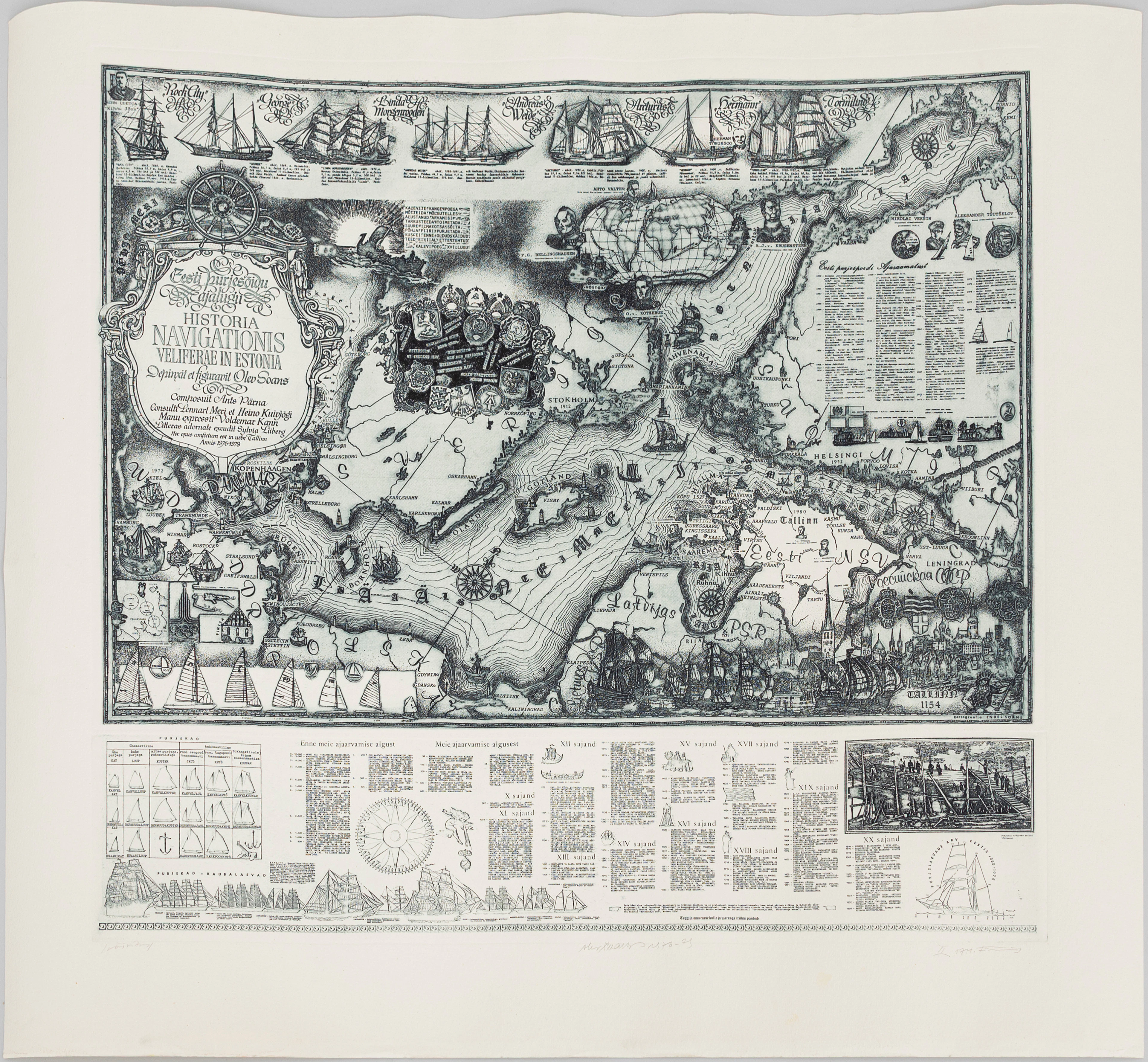
OLEV SOANS (ESTLAND, 1925–1995). "Historia navigationis Velieferae
09/29/2026
€184.07
Schätzw.: €220.71


