






OCT 27 | 4:00 PM

Alle Auktionen / Bücher, Karten, Handschriften / Europe - North Europe

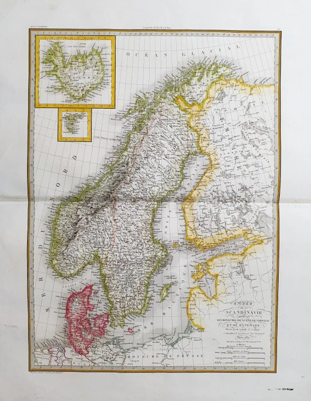
This Geographical Map is an original copper engraving dating from around 1830. It is the updated edition of the famous LAPIE work, published by ALEXANDRE and PIERRE. LAPIE, around 1830. The map in question comes from the beautiful and highly illustrated work entitled: "Atlas Universel de Géographie ancienne et moderne, précédé d'une Abrégé de Geographie physique et historique..... A PARIS, 1830 ca." A very large map in FOLIO size, printed in PARIS, with excellent original coloring, wide margins, and geographically well detailed in every point. Conditions: the condition is good as shown in the photo. The overall dimensions of the map are: 67 cm x 51 cm.
Schätzpreis:€2
Zur AuktionAlle Objekte ansehen vonCatawikioderBücher, Karten, Handschriften
Schätzpreis:
€2
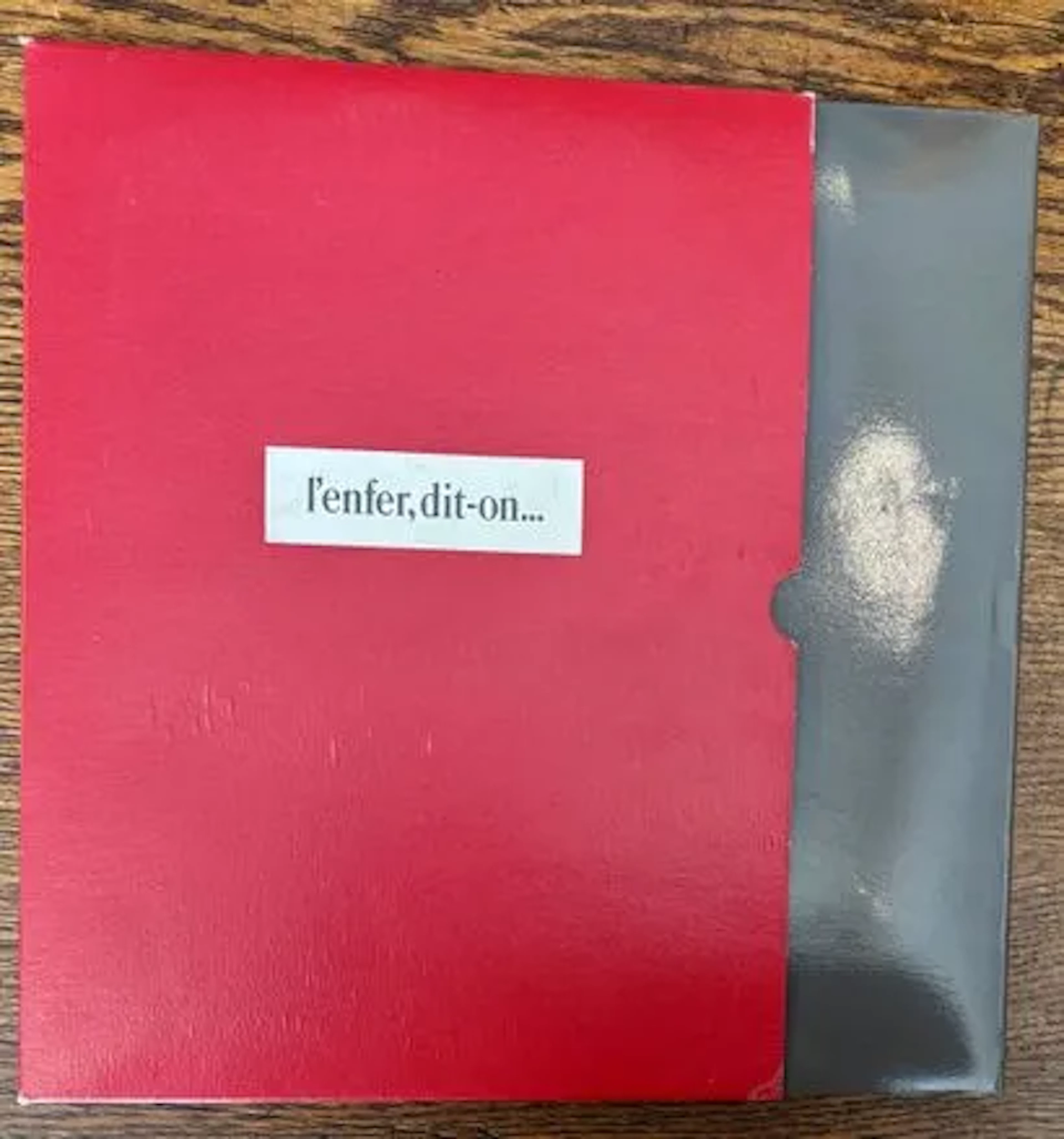
NOËL (Bernard). — L'Enfer, dit-on… Dessins secrets 1919-1939 - Lot 209
10/11/2026

€24
Schätzw.: €60
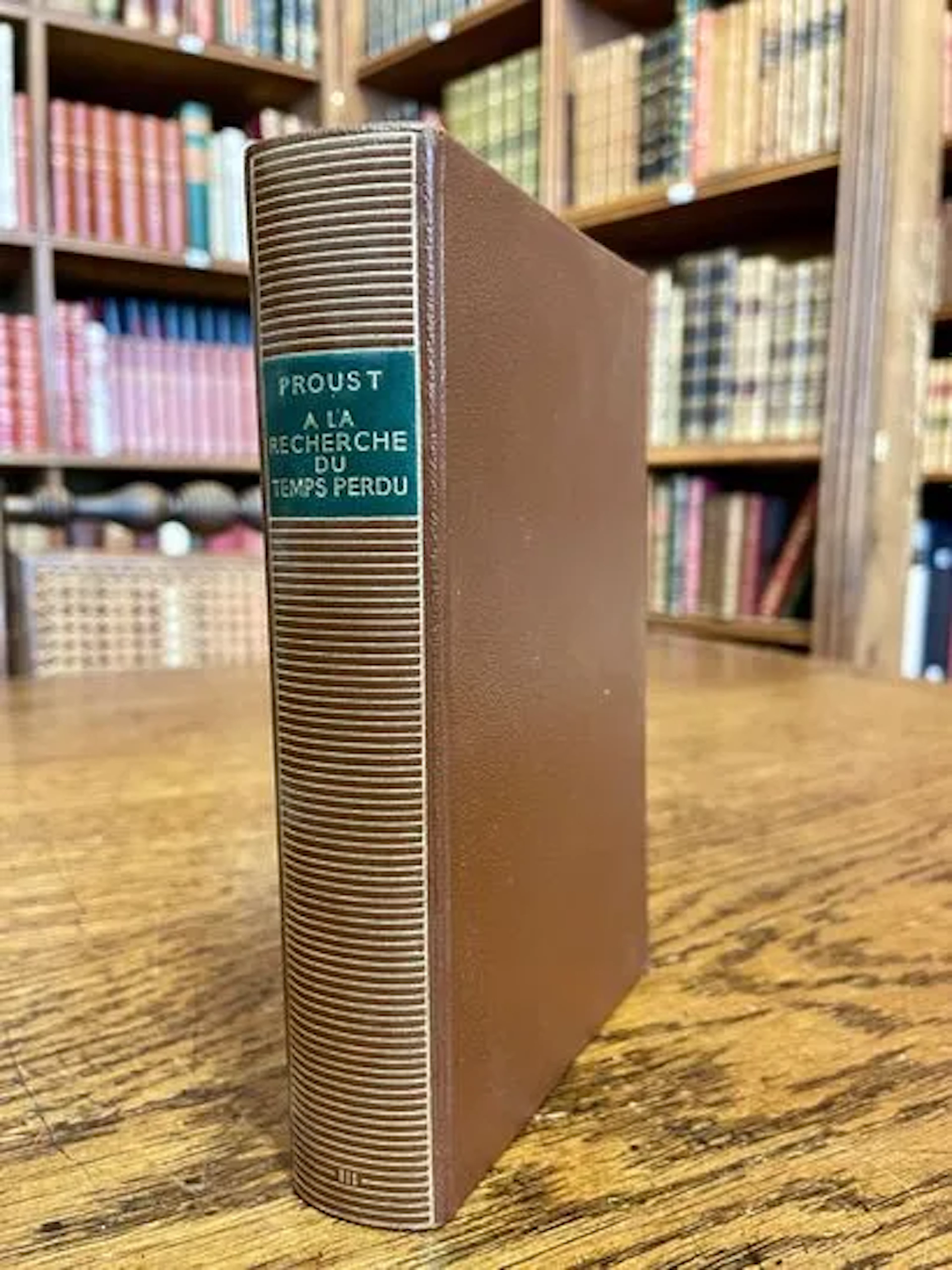
PROUST — À LA RECHERCHE DU TEMPS PERDU III — PLÉIADE — 1956 - Lot 237
10/11/2026
€12
Schätzw.: €15
OCT 27 | 4:00 PM




Bringen Sie Ihre Auktion zu Sammlern weltweit!
Jetzt eintragen lassenMit der Anmeldung stimmen Sie der Datenschutzrichtlinie zu. Jederzeit abmelden.
Barnebys HQ
Brahegatan 10
BOX 5038
114 37 Stockholm
