






Alle Auktionen / Bücher, Karten, Handschriften / Framed late 19th century colour-printed map of Dorsetshire, ...

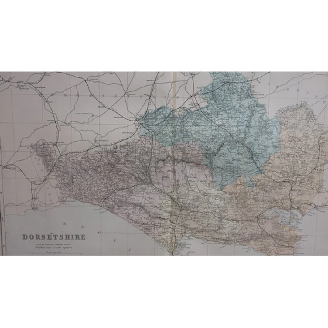
Framed late 19th century colour-printed map of Dorsetshire, reduced from the Ordnance Survey and divided into five-mile squares, showing parliamentary divisions, railways and stations, with scale and marginal grid.
Schätzpreis:-
Zur AuktionAlle Objekte ansehen vonEASYLIVEAUCTIONoderBücher, Karten, Handschriften
Schätzpreis:
-
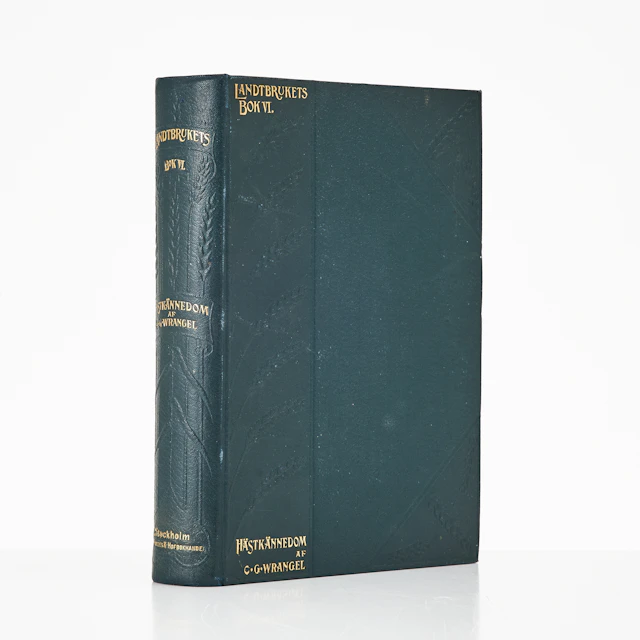
WRANGEL, HIPPOLOGIA. HANDBOK I HÄSTKÄNNEDOM 1906.
10/22/2026
€80.89
Schätzw.: €161.98
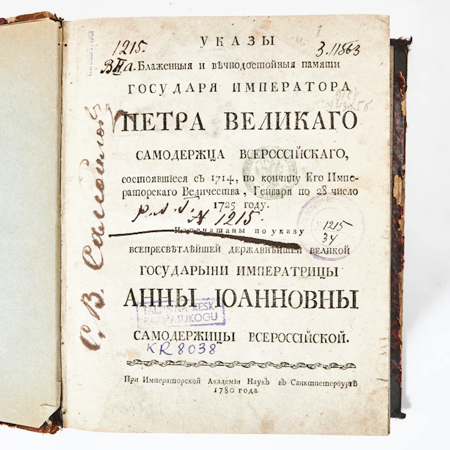
RYSK BOK RÖRANDE LAGAR OCH FÖRORDNINGAR, ST. PETERSBURG 1780.
10/22/2026
€409.58
Schätzw.: €134.98




Bringen Sie Ihre Auktion zu Sammlern weltweit!
Jetzt eintragen lassenMit der Anmeldung stimmen Sie der Datenschutzrichtlinie zu. Jederzeit abmelden.
Barnebys HQ
Brahegatan 10
BOX 5038
114 37 Stockholm
