







Alle Auktionen / Bücher, Karten, Handschriften / Ireland - Northeast of Ireland: counties Antrim

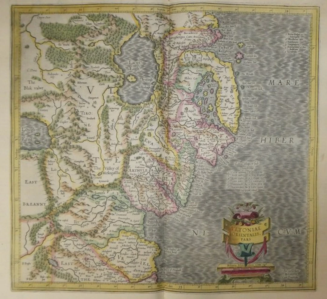
Old copper-engraved map of eastern Ulster (Ireland) by Mercator, published in 1633 in the Mercator-Hondius atlas. It shows the northeast of Ireland, from the Antrim coast to the mouth of the Boyne at Drogheda. Lough Neagh occupies the center-left of the map. It is depicted with its island and surrounded by hills and forests drawn in perspective. On the coast, Belfast and Carrickfergus are discernible, the Ards Peninsula, Strangford Lough dotted with islets and the Mourne Mountains. Inland appear Armagh, Dungannon, Newry and Dundalk. Lough Erne appears on the left edge. The coloring of the period distinguishes the territories with washes of yellow, pink and green. The sea is treated with regular waves, with the Latin name “Mare Hibernicum” in large capitals. The title cartouche, at the bottom right, combines a voluted panel, a bowl of fruit and draperies. It rests on a pedestal bearing two miles scales of Ireland. The signature “Per Gerardum Mercatorem Cum Priuilegio” appears to the right. Two numbered legends accompany the map, including “Lloca aliquot sub Dondrome.” French text on the verso (pp. 97 and 100). - Dimensions: on the sheet: 56 x 47,5 cm; on the map (cuve): 46,9 x 35,3 cm - Condition: Very good overall for a map of this period. Presence of a central vertical crease and light stains. See photos for more details. Atlas Mercator-Hondius - The atlas called “Mercator-Hondius” reprises the work of Gerard Mercator, whose copperplates were bought back by Jodocus Hondius in 1604. This French edition of 1633 is signed by his son Henricus Hondius and his son-in-law Joannes Janssonius, who enlarged it with new maps. Gerard Mercator – Geographer, mathematician and Flemish cartographer, born in Rupelmonde in 1512 and died in Duisburg in 1594. He studied in Leuven. He is known for his terrestrial and celestial globes, and for his world map of 1569 with the cylindrical projection, called the “Mercator projection.” Based in Duisburg from 1552, he prepared a large collection of maps there. His son Rumold published the complete atlas in 1595, the year after his death. Jodocus Hondius acquired the copperplates in 1604 and published many editions of them. Those from the 1630s were issued in Amsterdam by his heirs.
Schätzpreis:€150
Zur AuktionAlle Objekte ansehen vonCatawikioderBücher, Karten, Handschriften
Schätzpreis:
€150
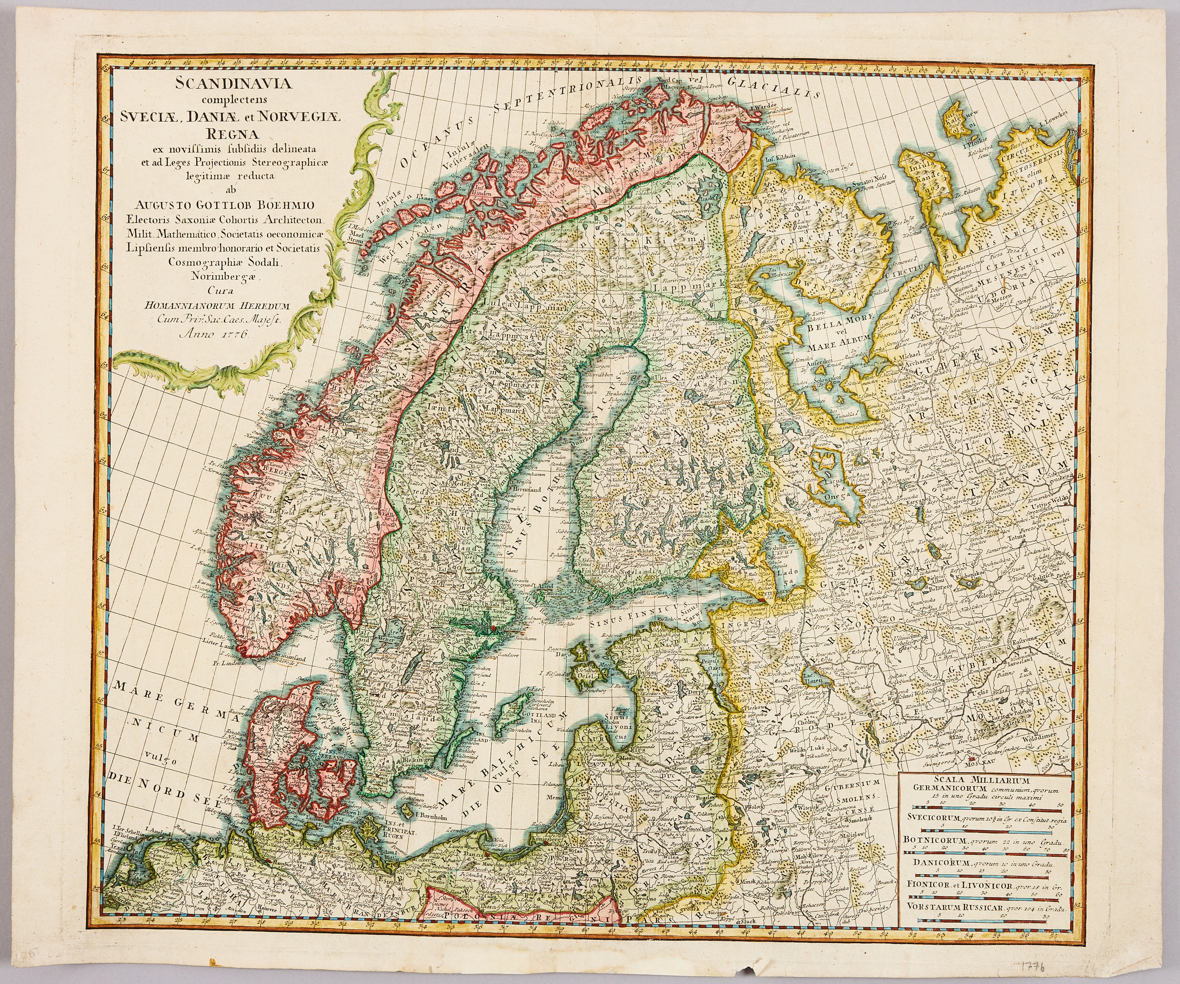
HOMANNS ARVINGAR, KARTA ÖVER SKANDINAVIEN, ca 1770.
10/09/2026
€98.27
Schätzw.: €107.33

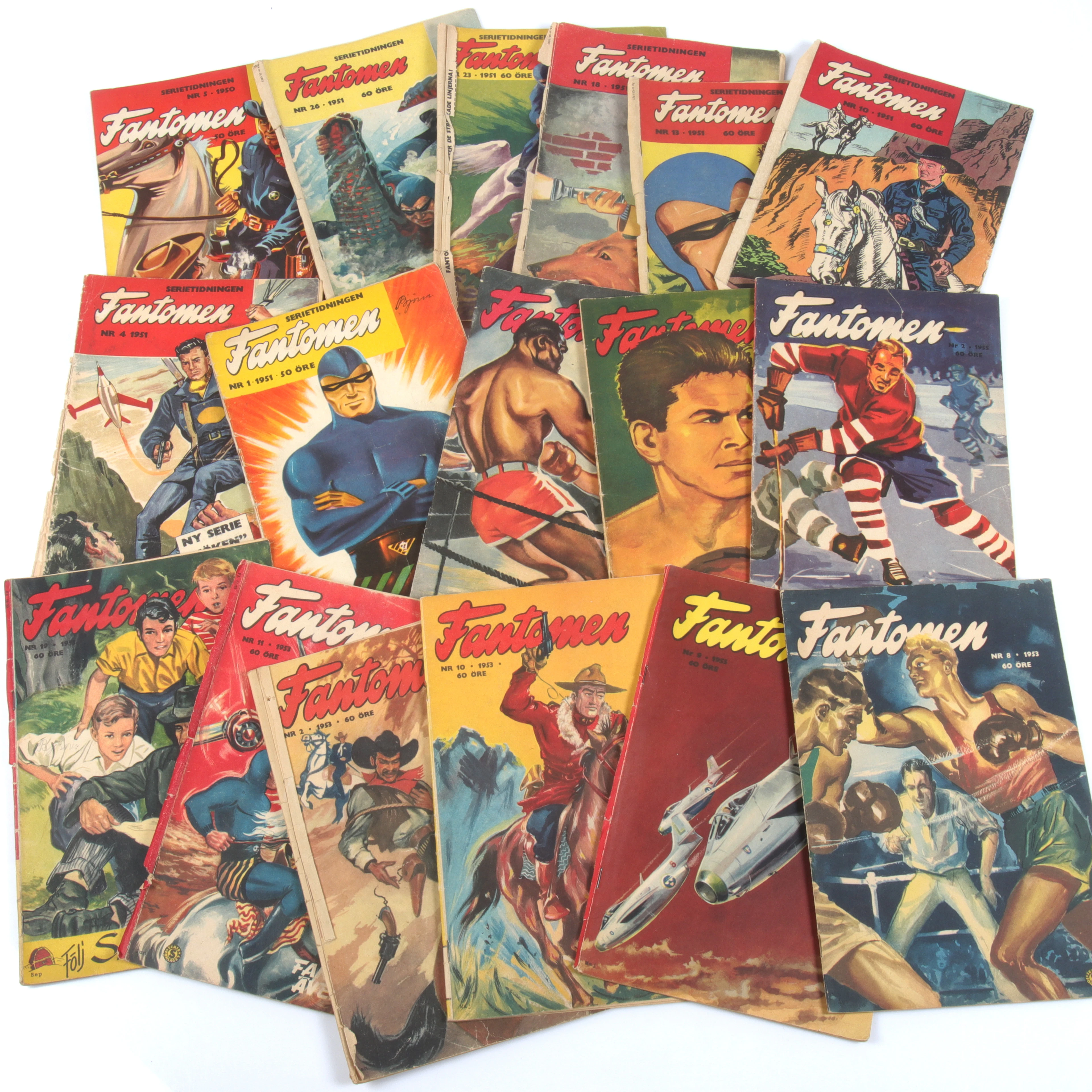
SERIETIDNINGAR, 57 st Fantomen, år 1950-56.
10/09/2026
€124.96
Schätzw.: €71.55
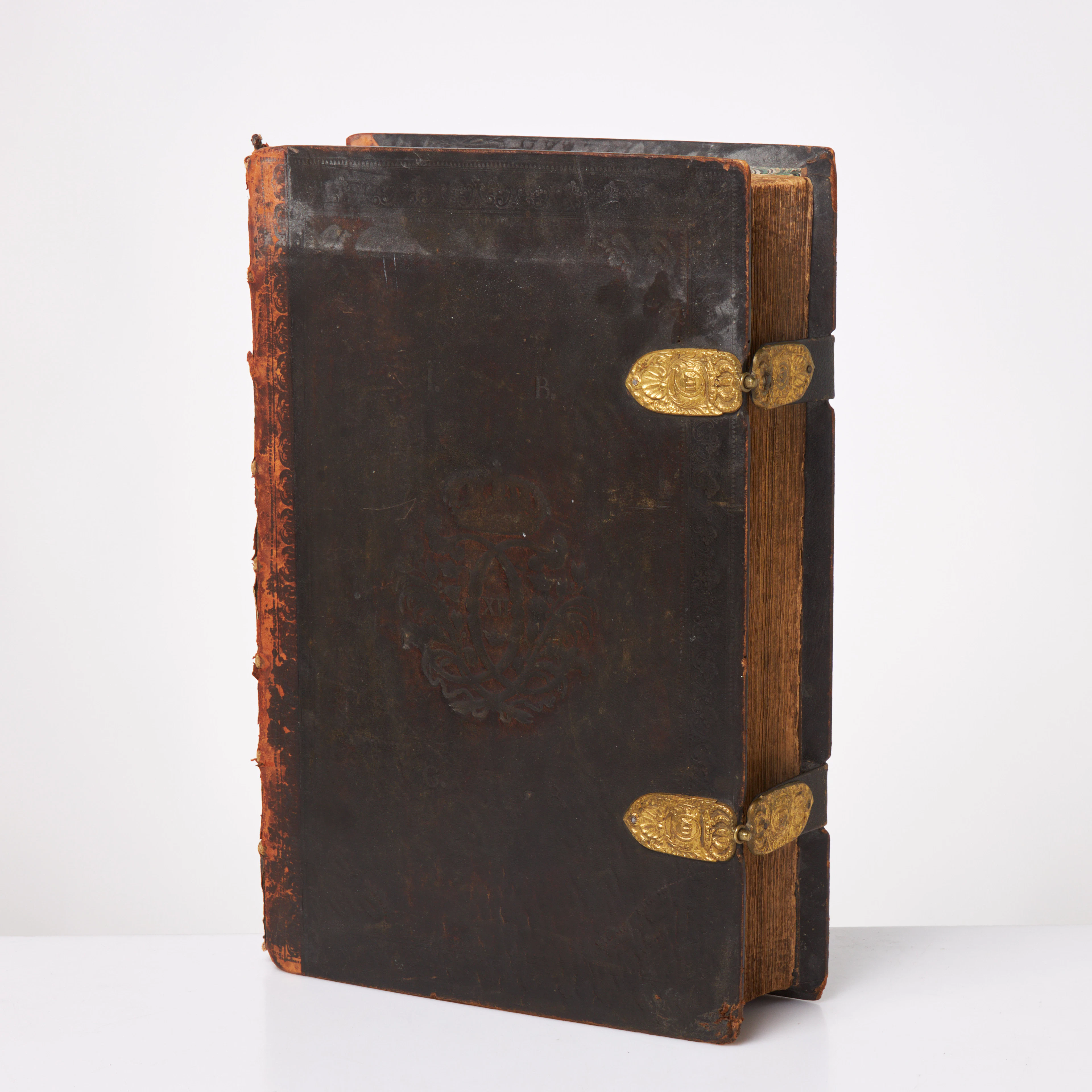
KARL XII:S BIBEL. 1703, samtida band.
10/09/2026
€580.17
Schätzw.: €536.69




Bringen Sie Ihre Auktion zu Sammlern weltweit!
Jetzt eintragen lassenMit der Anmeldung stimmen Sie der Datenschutzrichtlinie zu. Jederzeit abmelden.
Barnebys HQ
Brahegatan 10
BOX 5038
114 37 Stockholm
