







Alle Auktionen / Bücher, Karten, Handschriften / Italy - Tuscany/Lucca; Hendrik Hondius

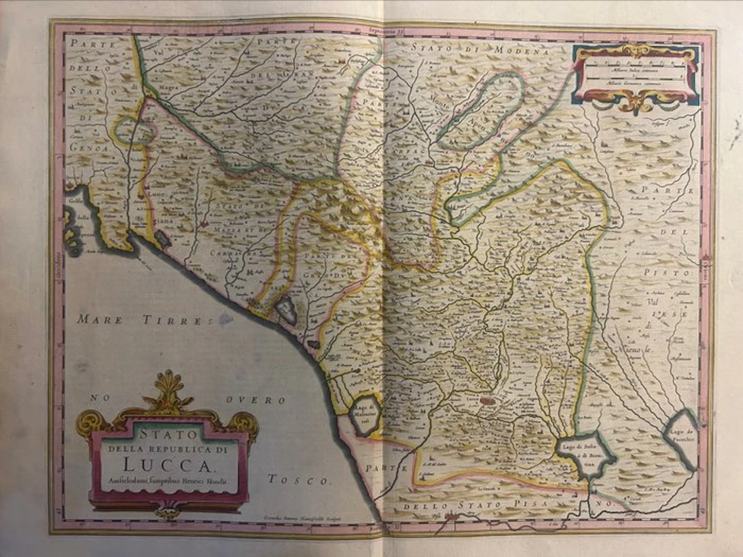
Splendid and rare 17th-century map depicting the territory of the Republic of Lucca. From the famous Atlas Novus by Henricus Hondius, the work is based on the detailed cartographic surveys of the Italian geographer Giovanni Antonio Magini. The plate is characterized by a peculiar historical orientation (with North to the left), extending along the Tyrrhenian coast and showing the Luccan possessions and the neighboring regions of Tuscany and Emilia. • Good. • Details: Sheet intact with wide original margins. Usual light central editorial fold due to its original placement within the atlas. Paper uniformly browned with time, giving the classic and sought-after warm ivory tone. Absence of invasive restorations or tears that compromise the engraved portion."
Schätzpreis:€200
Zur AuktionAlle Objekte ansehen vonCatawikioderBücher, Karten, Handschriften
Schätzpreis:
€200
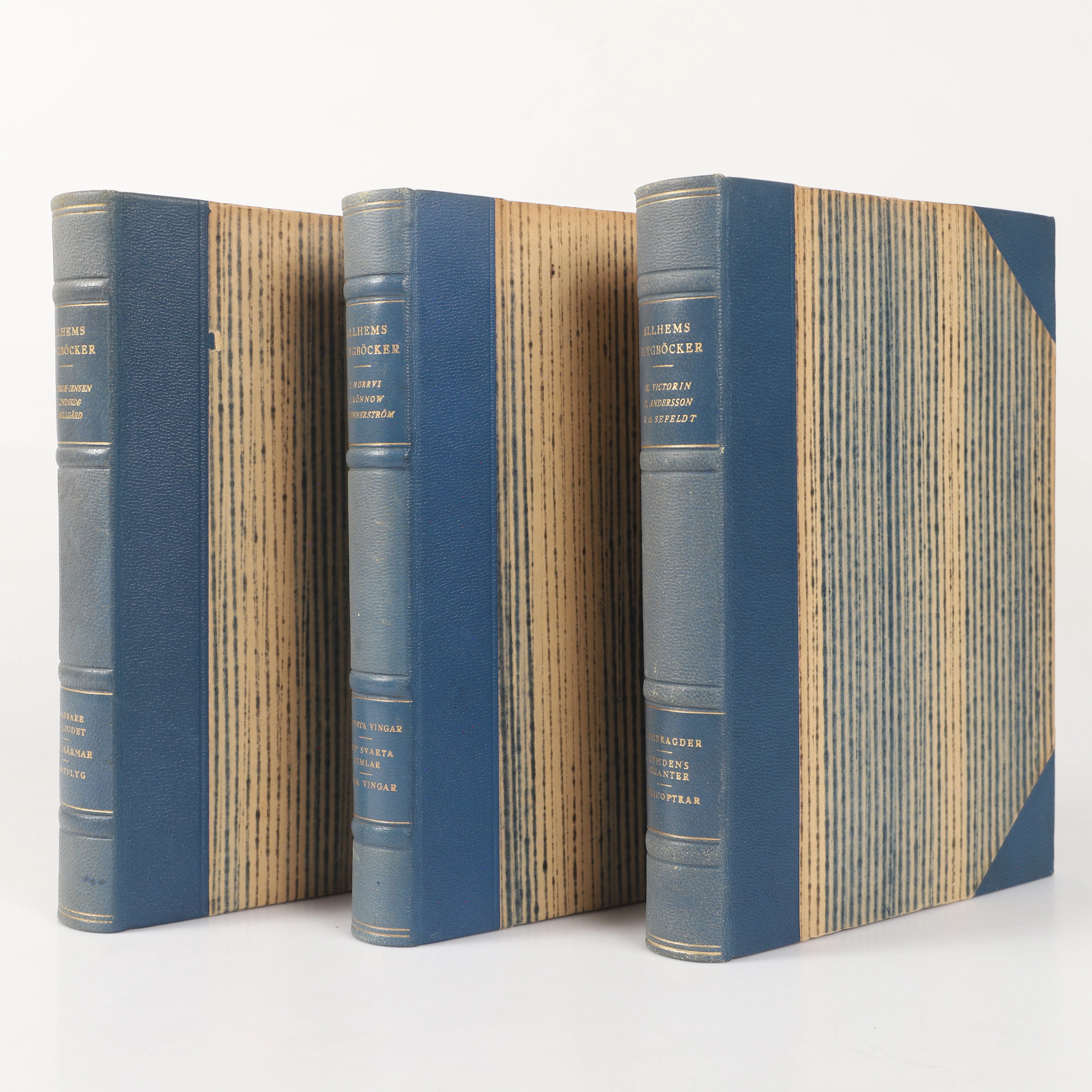
BÖCKER, 3 stycken, "Allhems Flygböcker", A.-B Allhems Förlag, Malmö, 1946-1948.
10/10/2026

€26.77
Schätzw.: €35.7
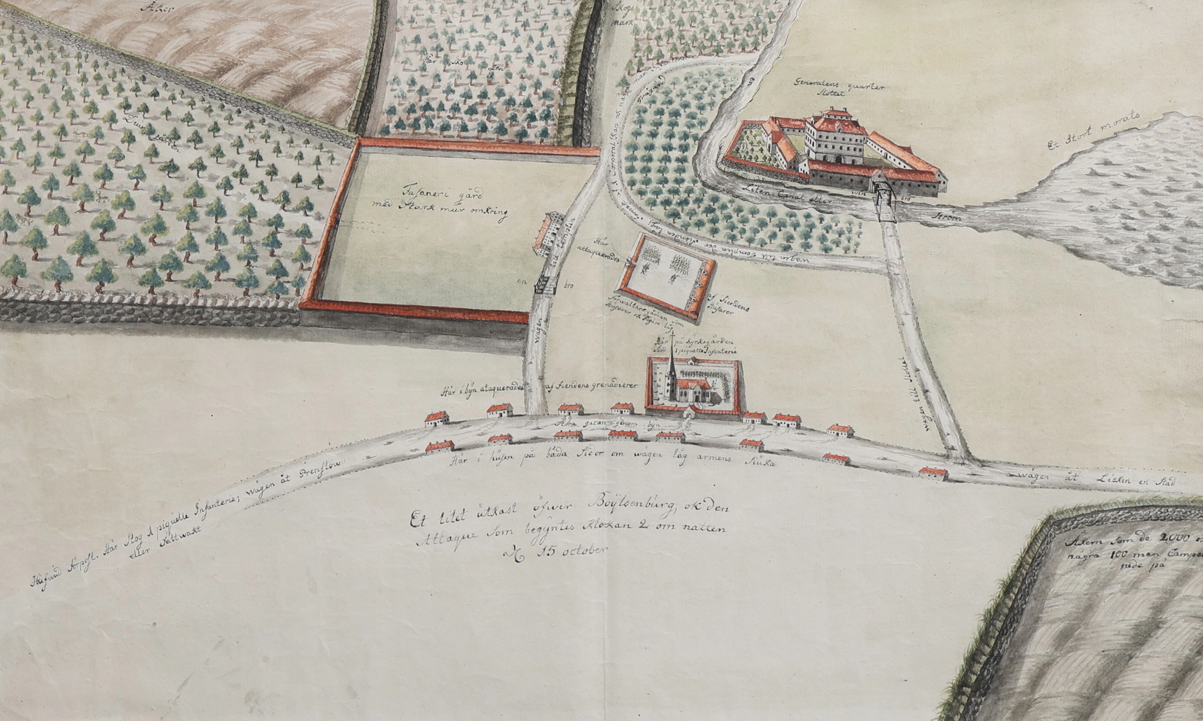
HANDRITAD SITUATIONSKARTA ÖVER BOITZENBURG, MECKLENBURG-VORPOMMERN
10/10/2026
€388.26
Schätzw.: €357.03
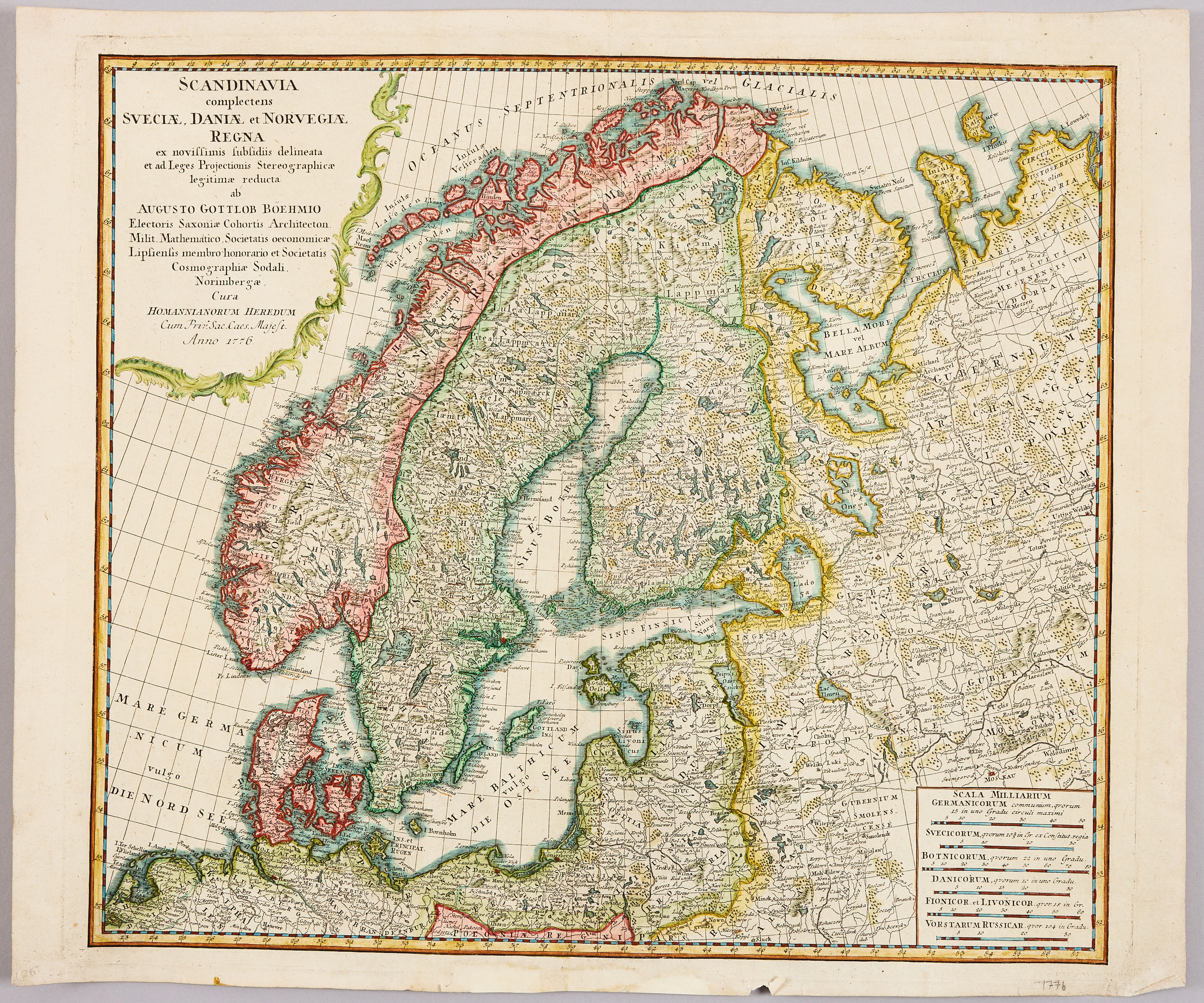
HOMANNS ARVINGAR, KARTA ÖVER SKANDINAVIEN, ca 1770.
10/09/2026
€98.27
Schätzw.: €107.33





Bringen Sie Ihre Auktion zu Sammlern weltweit!
Jetzt eintragen lassenMit der Anmeldung stimmen Sie der Datenschutzrichtlinie zu. Jederzeit abmelden.
Barnebys HQ
Brahegatan 10
BOX 5038
114 37 Stockholm
