








Alle Auktionen / Bücher, Karten, Handschriften / Müller - Regni Bohemiae (Nachdruck)

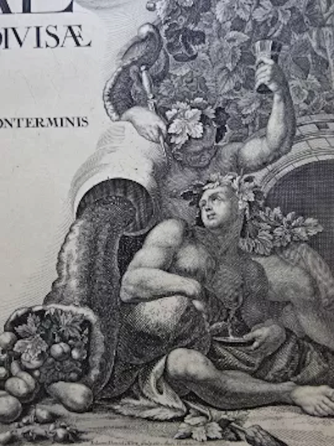
Müller, J.C. Mappa Geographica Regni Bohemiae in duodecim circulos divisiae cum comitatu glacensi et districtu egerano adiunctis circumiacentium regionum partibus conterminis ex accurata totius Regni perlustratione et geometrica dimensione. XXV. Sectionibus. Nachdruck (der Ausgabe: Augsburg, Kauffer, 1720), um 1980. Titelblatt und 25 Segmente der Kupferstich-Wandkarte (= zusammen 26 Blätter). Folio. Lose in verschließbarer Holzschatulle mit Deckeltitel (beschabt, bestoßen). Vgl. Nadolny 237; Austria picta 20.3.- Nachdruck (offensichtlich von den ursprünglichen Kupferstichplatten) der monumentalen Kupferstichkarte, mit über 12.000 Ortsnamen misst diese vollständig ausgebreitet ca. 235 x 280 cm. - Mit prachtvoll ausgeschmückter Titel- und Wappenkartusche sowie Legende und der Ansicht von Prag links oben. Durch die bildliche Ausstattung der Karte von Johann Daniel Hertz (1693-1754) nach Wenzel Lorenz Reiner (1689-1743) 'gehört das Werk zu den künstlerisch bedeutendsten Karten des Hochbarock' (Austria picta). Müller, JC Mappa Geographica Regni Bohemiae in duodecim circulos divisiae cum comitatu glacensi et districtu egerano adiunctis circumiacentium regionum partibus conterminis ex accurata totius Regni perlustratione et geometrica dimensione. XXV. Sectionibus. Reprint (of the edition: Augsburg, Kauffer, 1720), circa 1980. Title page and 25 segments of the copperplate engraving wall map (= a total of 26 sheets). Folio. Loose in a lockable wooden box with title on the cover (scuffed, bumped). Cf. Nadolny 237; Austria picta 20.3. - Reprint (apparently from the original copperplate engravings) of the monumental copperplate engraving map, with over 12,000 place names, this measures approximately 235 x 280 cm when fully unfolded. - With a magnificently decorated title and coat of arms cartouche, legend, and a view of Prague in the upper left. Due to the pictorial design of the map by Johann Daniel Hertz (1693-1754) after Wenzel Lorenz Reiner (1689-1743), 'the work is among the most artistically significant maps of the High Baroque' (Austria picta).
Schätzpreis:€50
Zur AuktionAlle Objekte ansehen vonAntiquariat SchrammoderBücher, Karten, Handschriften
Schätzpreis:
€50
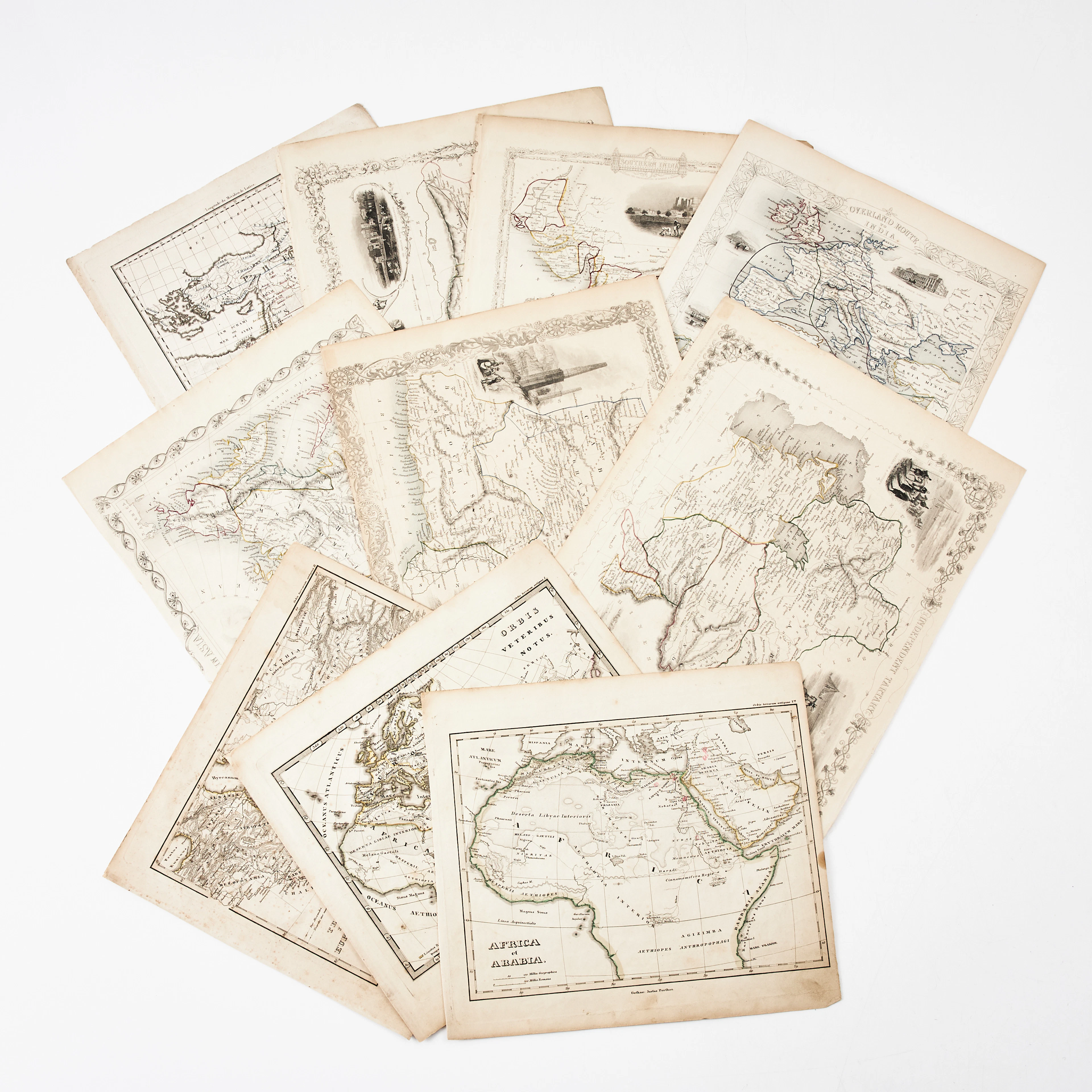
KARTOR 10 ST, bl.a. INDIEN, AFRIKA m.fl., 1800-tal.
10/18/2026
€26.96
Schätzw.: €134.66

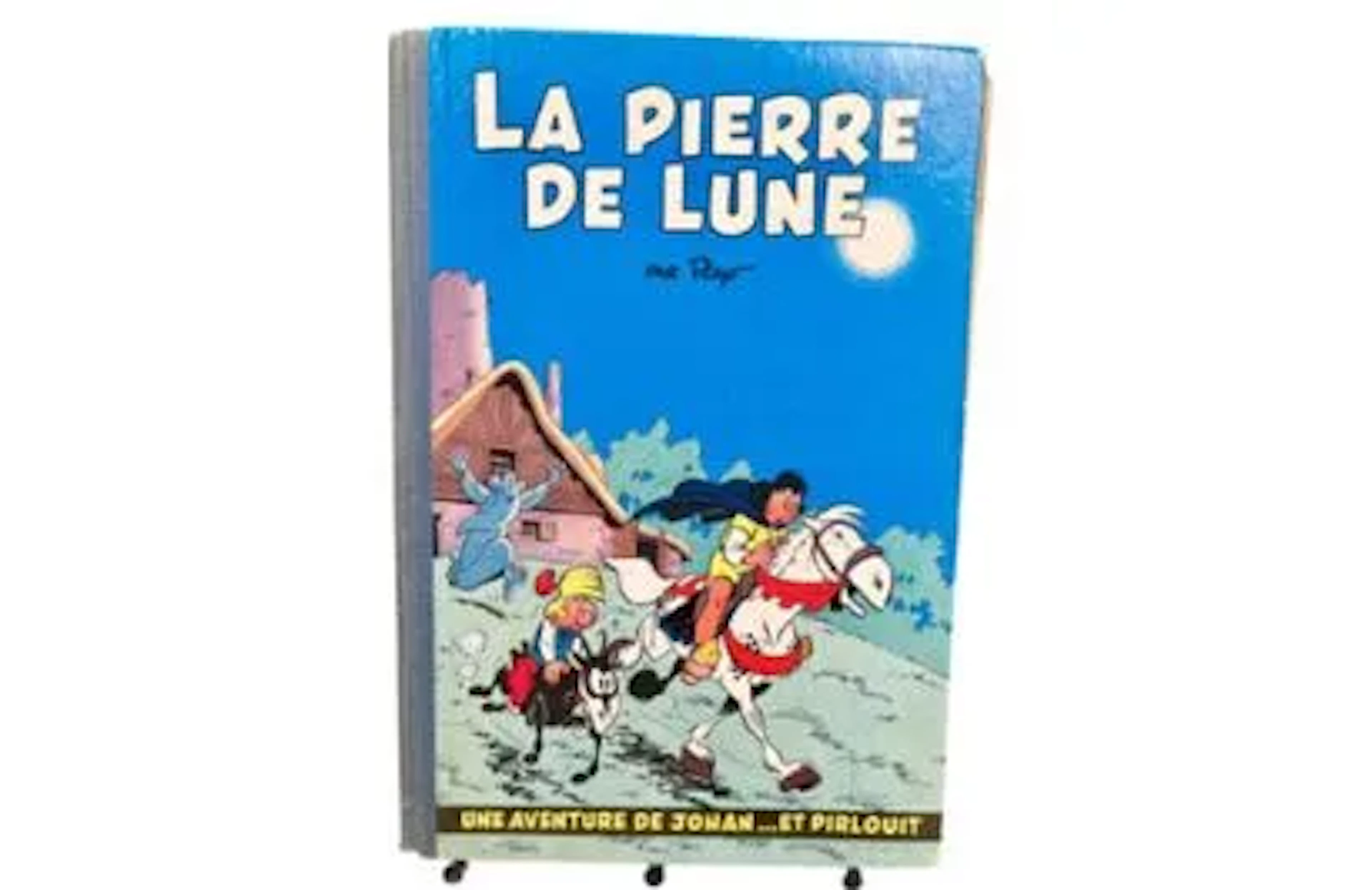

MARNIQUET (Frédéric) - Les Aventures de Scott & Hasting, Tom - Lot 140
10/18/2026

€9
Schätzw.: €15




Bringen Sie Ihre Auktion zu Sammlern weltweit!
Jetzt eintragen lassenMit der Anmeldung stimmen Sie der Datenschutzrichtlinie zu. Jederzeit abmelden.
Barnebys HQ
Brahegatan 10
BOX 5038
114 37 Stockholm
