







Alle Auktionen / Bücher, Karten, Handschriften / Two 19th century maps

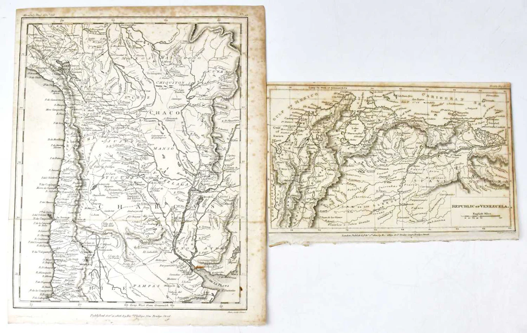
Two 19th century maps, both published Ric'rd Philips, New Bridge Street, comprising Republic of Venezuela, 1820, 13 x 21cm, and Chile/Bolivia, 1806, 27 x 21cm, engraved Neele & Son, together with seventeen early 20th century maps, Société D Éditions Géographiques Maratimes et Coloniales, comprising two Afrique Occidentale Français, eleven Afrique du Nord, Colonies Françaises dans le Pacifique, Planisphère, two Afrique Occidentale Française et Togo, engraved by A. Hausermann, Paris, 71 x 50cm (19). Condition Report, Condition Report, No condition report has been requested on this lot. The absence of a condition report does not rule out wear or damage. Bidders are responsible for satisfying themselves as to the condition of the lot by personal inspection or formal request prior to the sale, Request condition report, Request condition report
Schätzpreis:€47.34
Zur AuktionAlle Objekte ansehen vonAdam PartridgeoderBücher, Karten, Handschriften
Schätzpreis:
€47.34
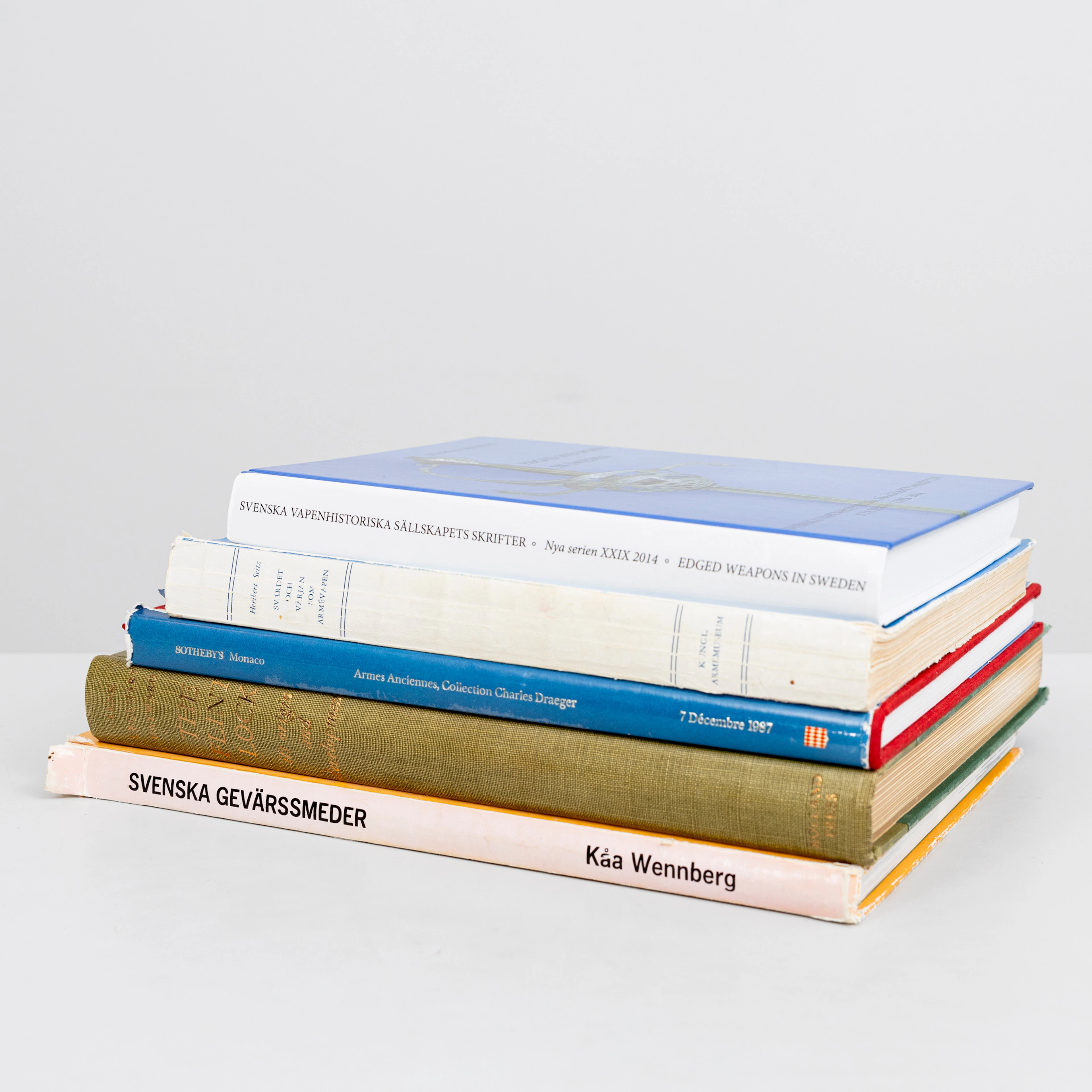
LITTERATUR, tema Militaria, 5 delar, bl.a "Svärdet och värjan som
10/11/2026
€66.95
Schätzw.: €107.1
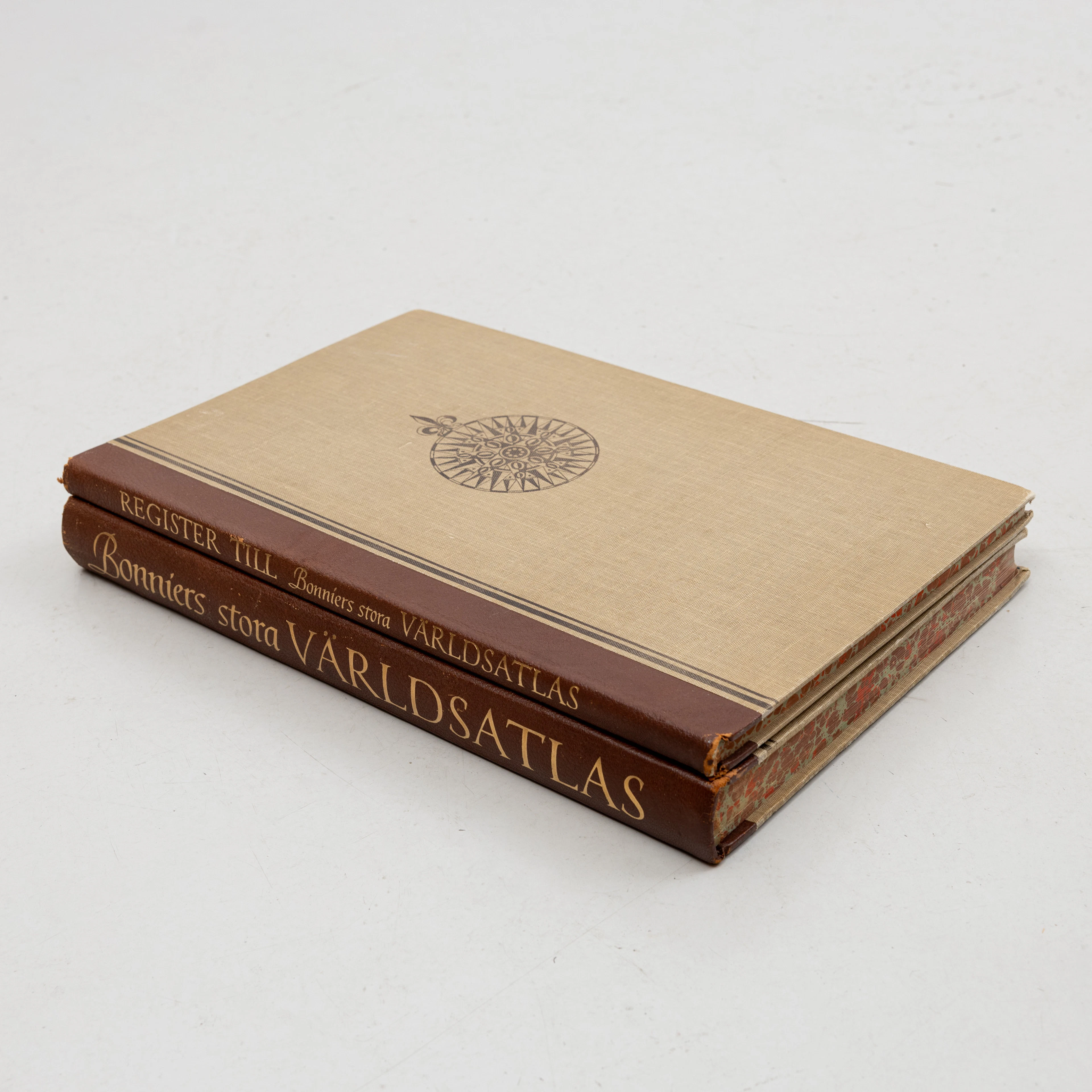
KARTBOK samt REGISTER,, FÖRSTORINGSGLAS, Bonniers Stora Världsatlas
10/11/2026
€62.48
Schätzw.: €106.15




Bringen Sie Ihre Auktion zu Sammlern weltweit!
Jetzt eintragen lassenMit der Anmeldung stimmen Sie der Datenschutzrichtlinie zu. Jederzeit abmelden.
Barnebys HQ
Brahegatan 10
BOX 5038
114 37 Stockholm
